North Campground (UT)
- Price:
- $30 per night
- Rating:
- 4.4 stars (933 reviews)
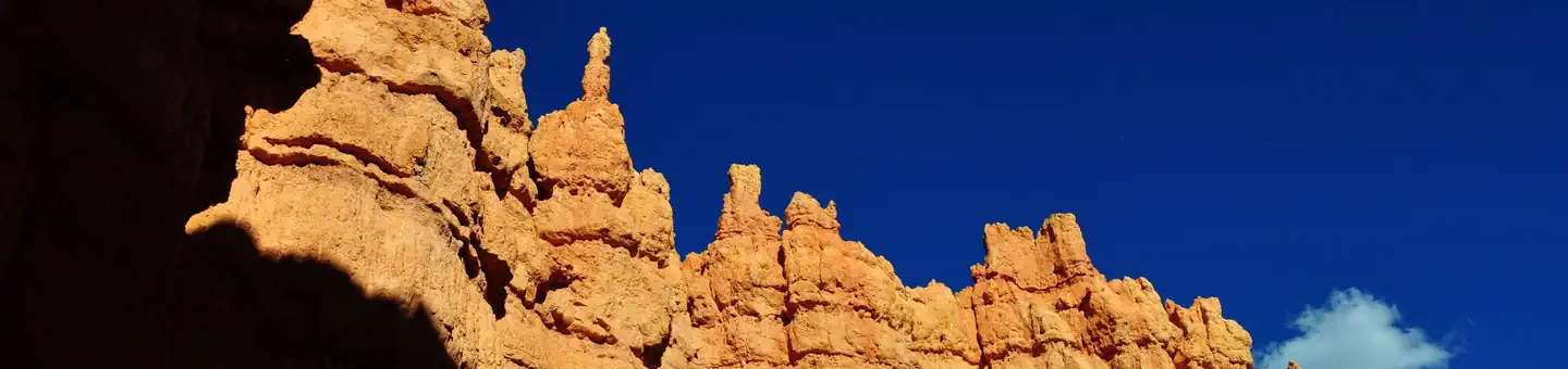
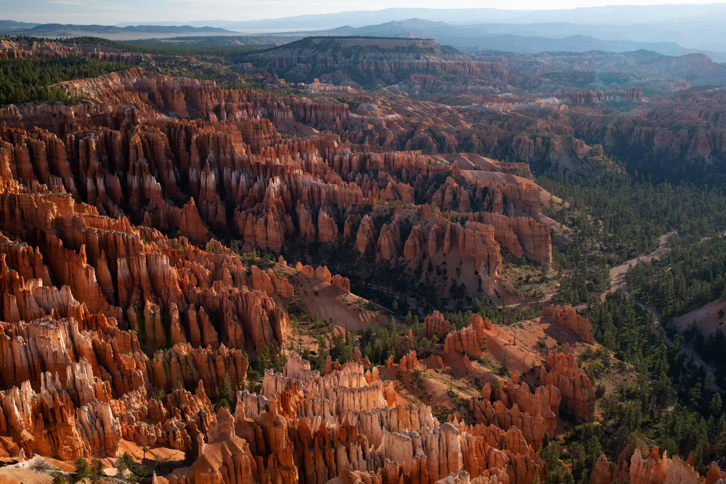
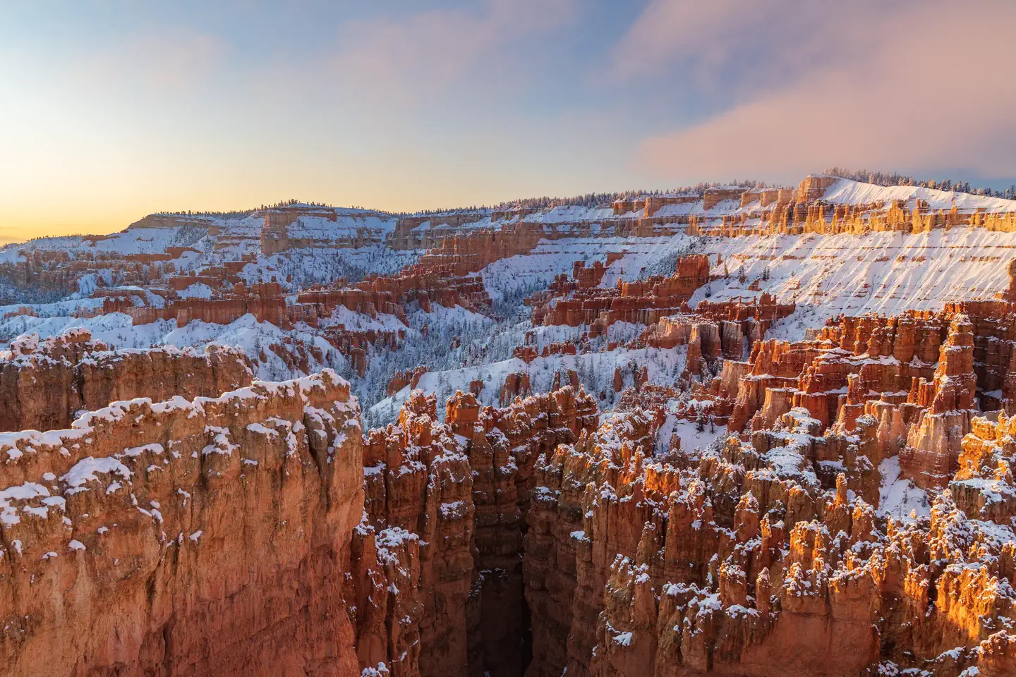
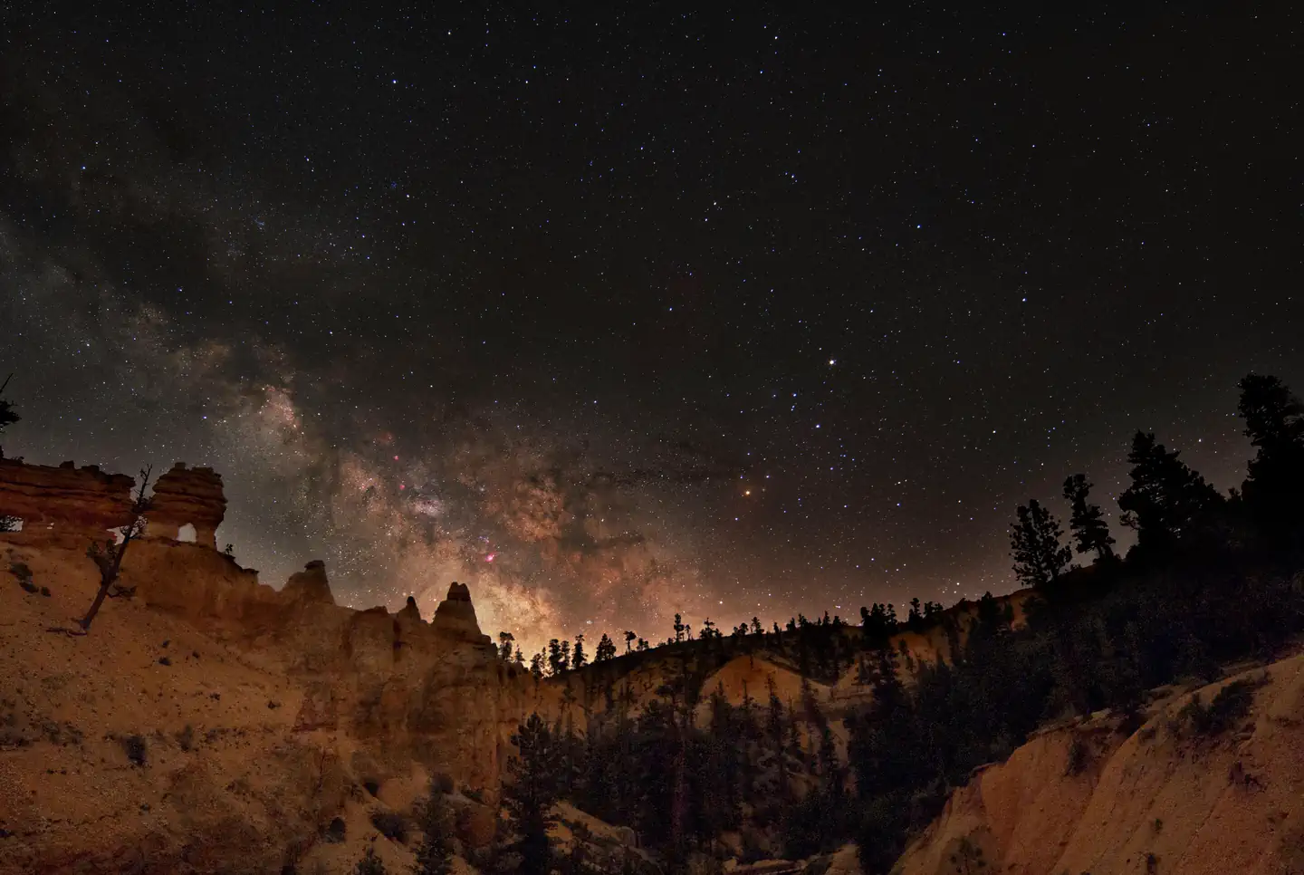
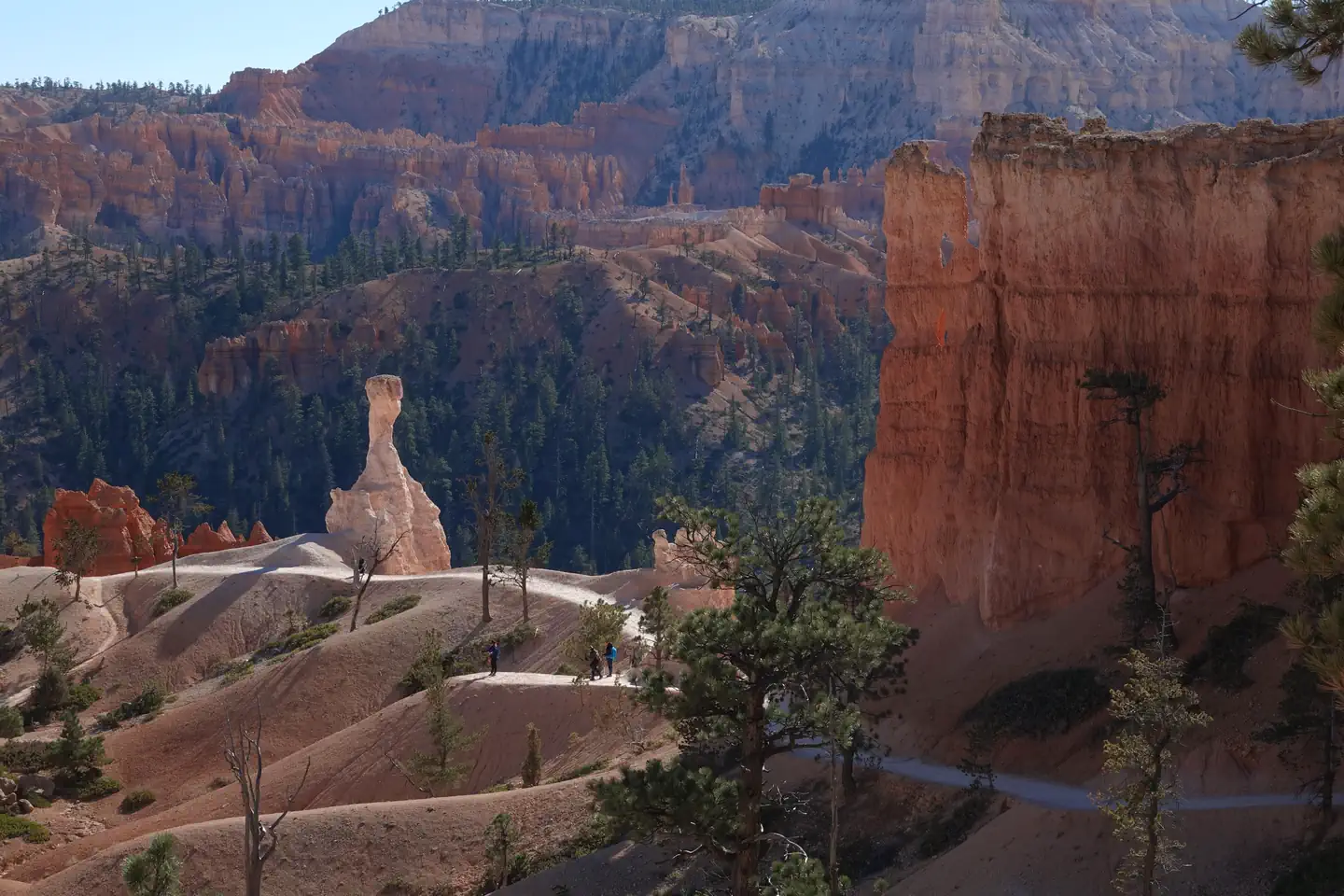
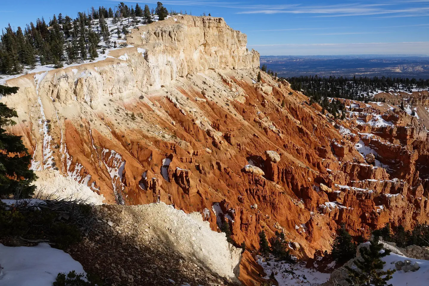
Bryce Canyon National Park is managed by National Park Service and is located near Bryce, Utah. Hoodoos (irregular columns of rock) exist on every continent, but here is the largest concentration found anywhere on Earth. Situated along a high plateau at the top of the Grand Staircase, the park's high elevations include numerous life communities, fantastic dark skies, and geological wonders that defy description.
Bryce Canyon National Park offers 2 campgrounds with various amenities and settings. From developed campgrounds with full facilities to primitive backcountry sites, there are options for every camping style.
Special permits are required for certain activities. Reserve your permits in advance to ensure access to popular areas.
Experience guided tours, tickets, and special programs. Advance reservations recommended.
Popular activities at Bryce Canyon National Park include:
Bryce Canyon National Park is a popular destination. Campground reservations typically open several months in advance. For peak season visits, book as early as possible. Check individual facility pages for specific booking windows and availability.
From the North: Take I-15 south to UT-20 (exit 95). Travel east on UT-20 to US-89. Follow US-89 south to UT-12. Travel east on UT-12 to UT-63. Take UT-63 south to Bryce Canyon NP. From the South through Zion National Park: Take I-15 north to UT-9 (exit 16). Follow UT-9 east through Zion National Park to US-89. Travel north on US-89 to UT-12. Go east on UT-12 to UT-63. Take UT-63 south to Bryce Canyon NP. From the East Travel west on UT-12 to UT-63. Take UT-63 south to Bryce Canyon NP.
GPS Coordinates: 37.58399144000000, -112.18266890000000
Phone: (435) 834-5322
Additional Information: