Capitol Reef Group Campground
- Price:
- $125 per night
- Rating:
- 5.0 stars (8 reviews)
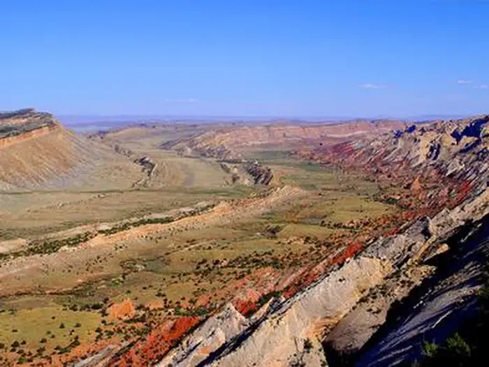
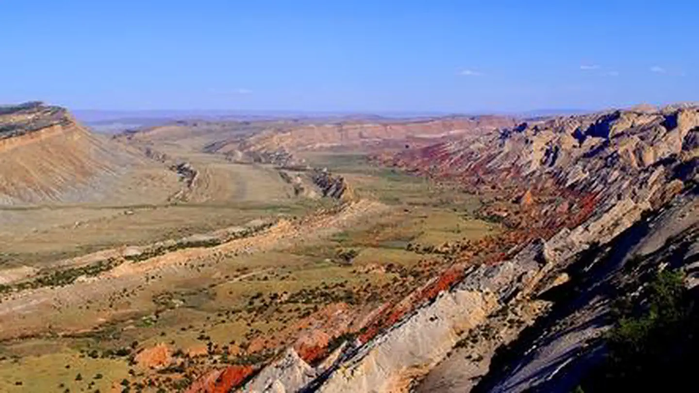
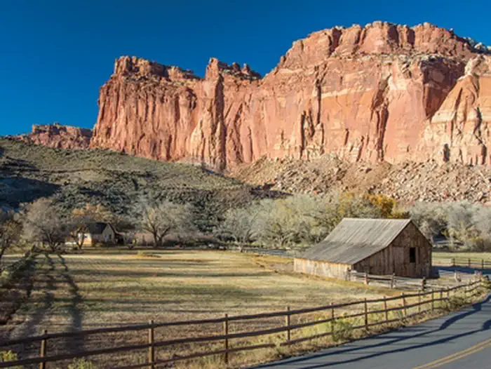
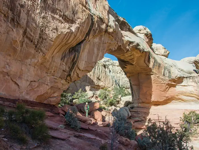
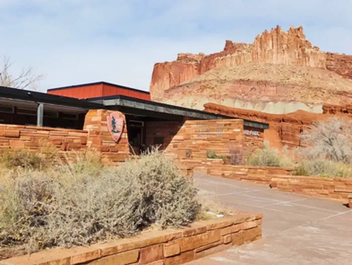
Capitol Reef National Park is managed by National Park Service and is located near Torrey, Utah. Located in south-central Utah in the heart of red rock country, Capitol Reef National Park is a hidden treasure filled with cliffs, canyons, domes, and bridges in the Waterpocket Fold, a geologic monocline (a wrinkle on the earth) extending almost 100 miles.
Capitol Reef National Park offers 2 campgrounds with various amenities and settings. From developed campgrounds with full facilities to primitive backcountry sites, there are options for every camping style.
Popular activities at Capitol Reef National Park include:
Capitol Reef National Park is a popular destination. Campground reservations typically open several months in advance. For peak season visits, book as early as possible. Check individual facility pages for specific booking windows and availability.
From I-70: Take exit 149, then take UT-24 west toward Hanksville; continue for 43.8 miles (70.5 km). Turn right to continue on UT-24 west and continue for 37.3 miles (60 km). From I-15: take exit 188 then US-50 east toward Scipio. Left on UT-50; continuing 0.7 miles (1.1 km). Turn right onto US-50 east; continue for 24.4 miles (39.3 km). Turn right onto UT-260 south and continue 4.2 miles (6.8 km), then right on UT-24 for 71.3 miles. UT-12: North on highway 12 to Torrey, UT. Right onto UT-24.
GPS Coordinates: 38.28216500000000, -111.24704800000001
Phone: (435) 425-3791
Additional Information: