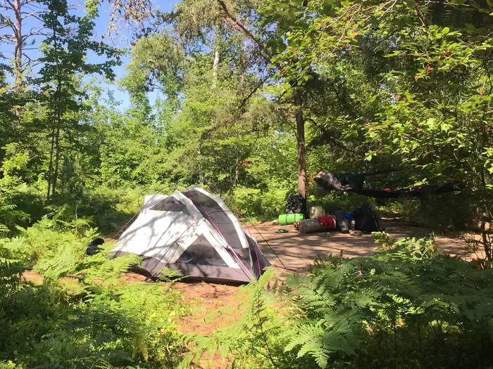
Hurricane River Campground
- Price:
- $25 per night
- Rating:
- 4.5 stars (299 reviews)
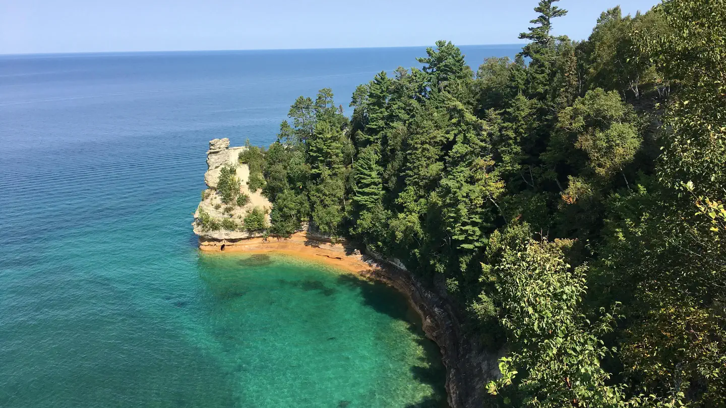
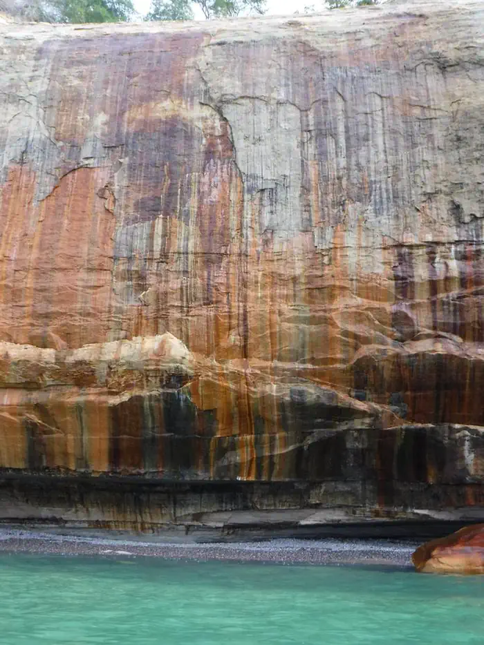
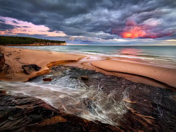
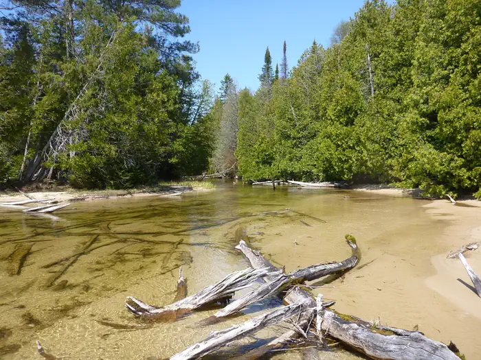
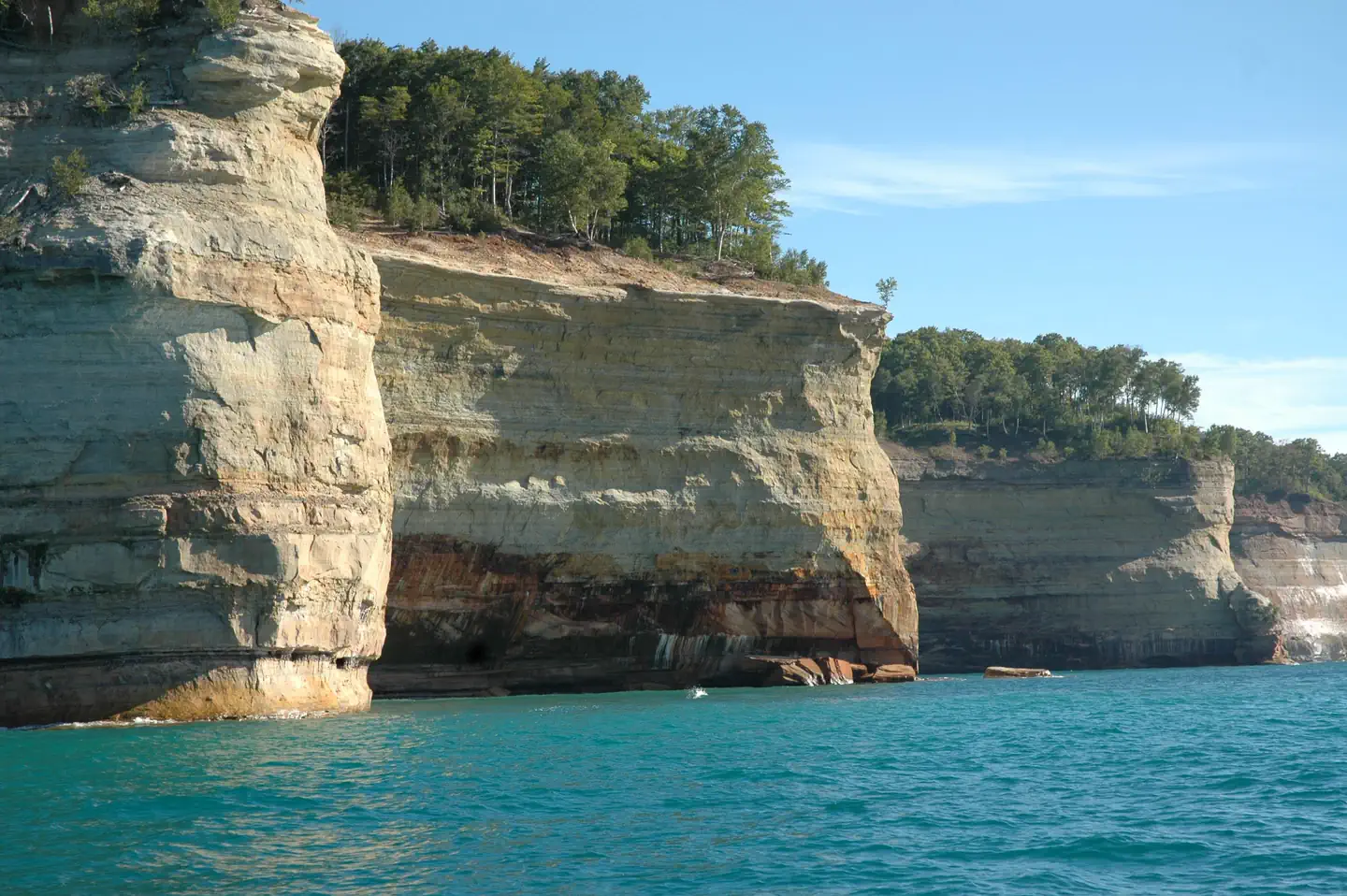
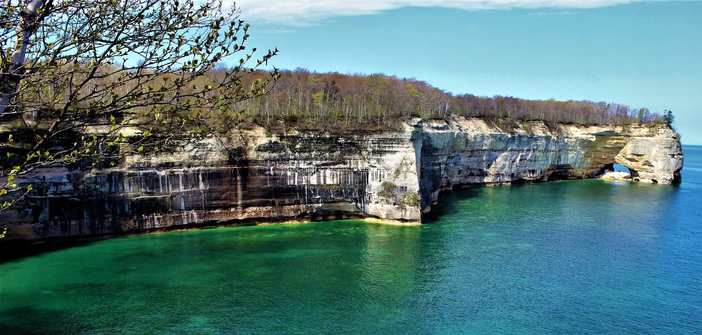
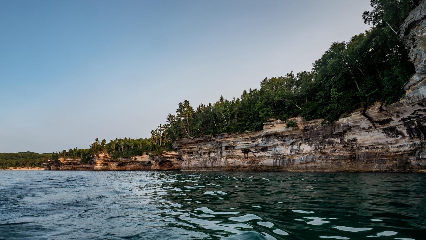
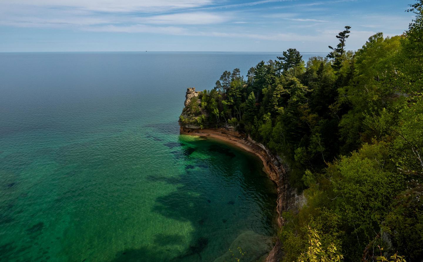
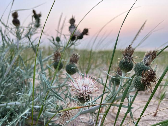
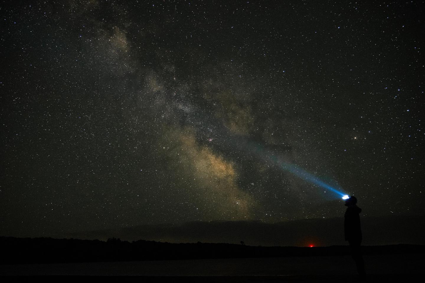
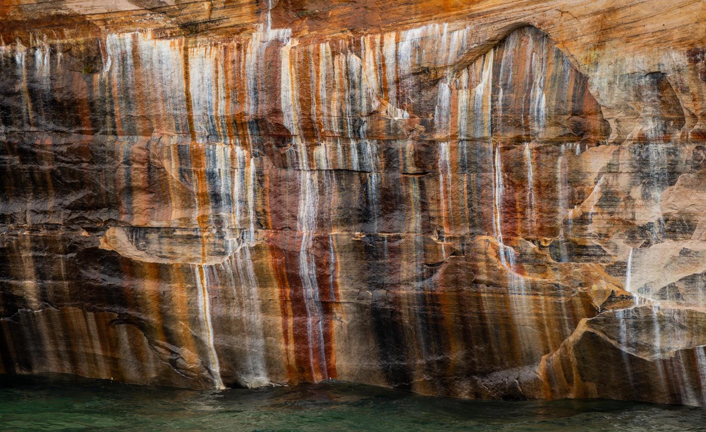
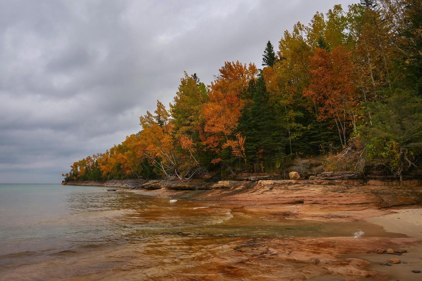
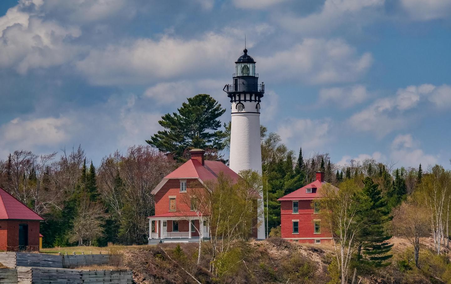
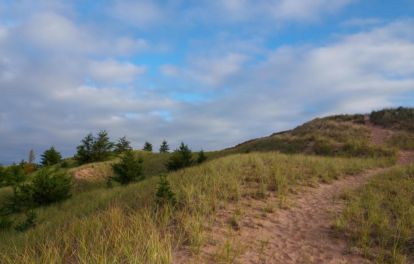
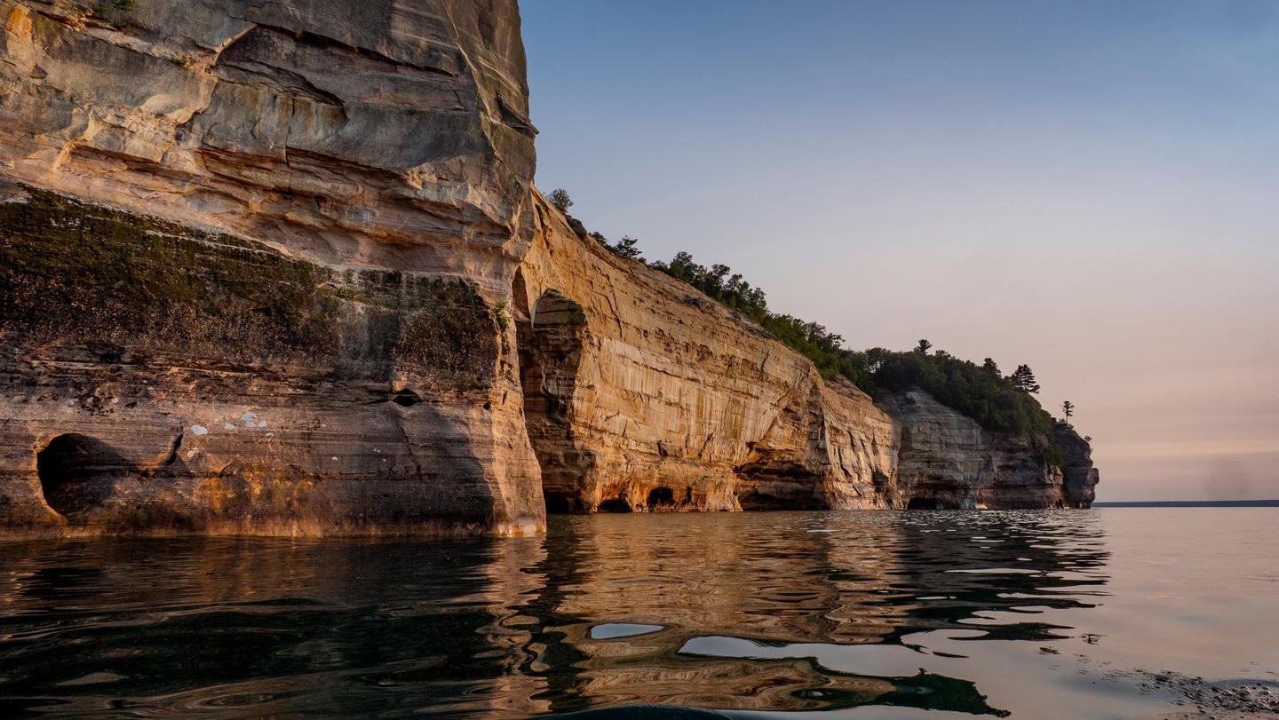
Pictured Rocks National Lakeshore is managed by National Park Service and is located near Shingleton, Michigan. Sandstone cliffs, beaches, waterfalls, sand dunes, inland lakes, deep forest, and wild shoreline beckon you to visit Pictured Rocks National Lakeshore. The power of Lake Superior shapes the park's coastal features and affects every ecosystem, creating a unique landscape to explore. Hiking, camping, sightseeing, and four-season outdoor opportunities abound.
Pictured Rocks National Lakeshore offers 4 campgrounds with various amenities and settings. From developed campgrounds with full facilities to primitive backcountry sites, there are options for every camping style.
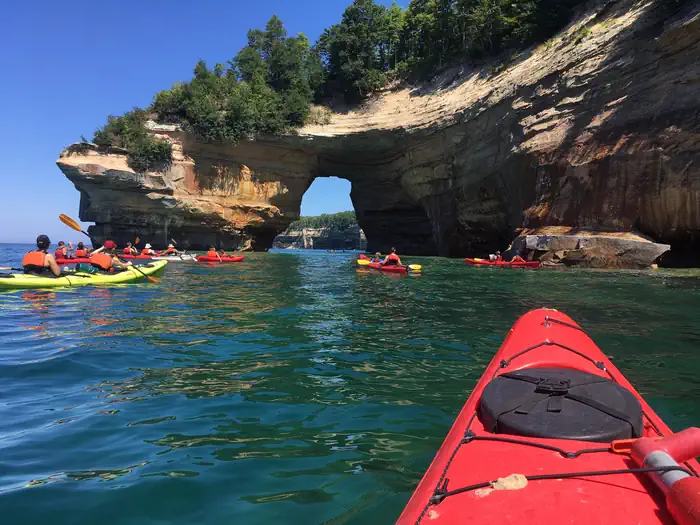
Experience guided tours, tickets, and special programs. Advance reservations recommended.
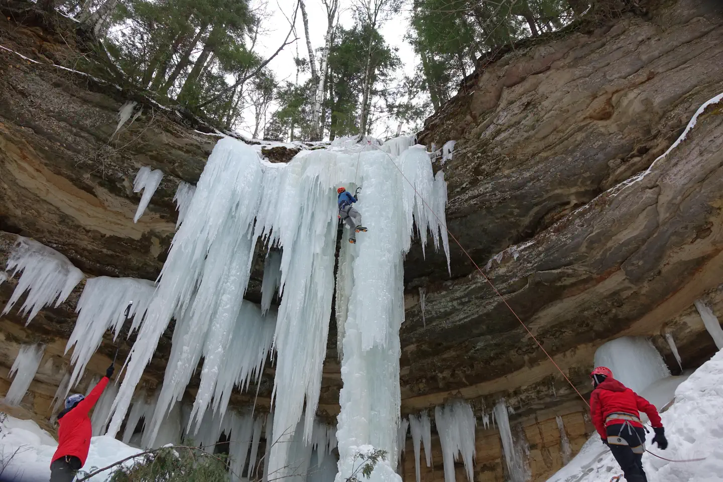
Popular activities at Pictured Rocks National Lakeshore include:
Pictured Rocks National Lakeshore is a popular destination. Campground reservations typically open several months in advance. For peak season visits, book as early as possible. Check individual facility pages for specific booking windows and availability.
Pictured Rocks NL is located on the south shore of Lake Superior in Michigan's Upper Peninsula, between the towns of Munising (west) and Grand Marais (east). Access the west side of the park via Michigan highways M-28 and M-94 to Munising. State highway M-77 leads to Grand Marais on the east side. Alger County Road H-58 runs parallel and through the park, providing access to spur roads that lead to scenic overlooks, trailheads, campgrounds, beaches, etc. Most park roads are closed in winter due to snow.
GPS Coordinates: 46.56435600000000, -86.31628700000000
Phone: (906) 387-3700
Additional Information: