1
Campground
Campground Calendar
mm
/
dd
/
yyyy
mm
/
dd
/
yyyy
July | |||||||||||
|---|---|---|---|---|---|---|---|---|---|---|---|
Availability Table Bottom Menu
No Campsites Selected
Content is loading
July | |||||||||||
|---|---|---|---|---|---|---|---|---|---|---|---|
No Campsites Selected
Medicine Bow-Routt Nfs & Thunder Basin Ng
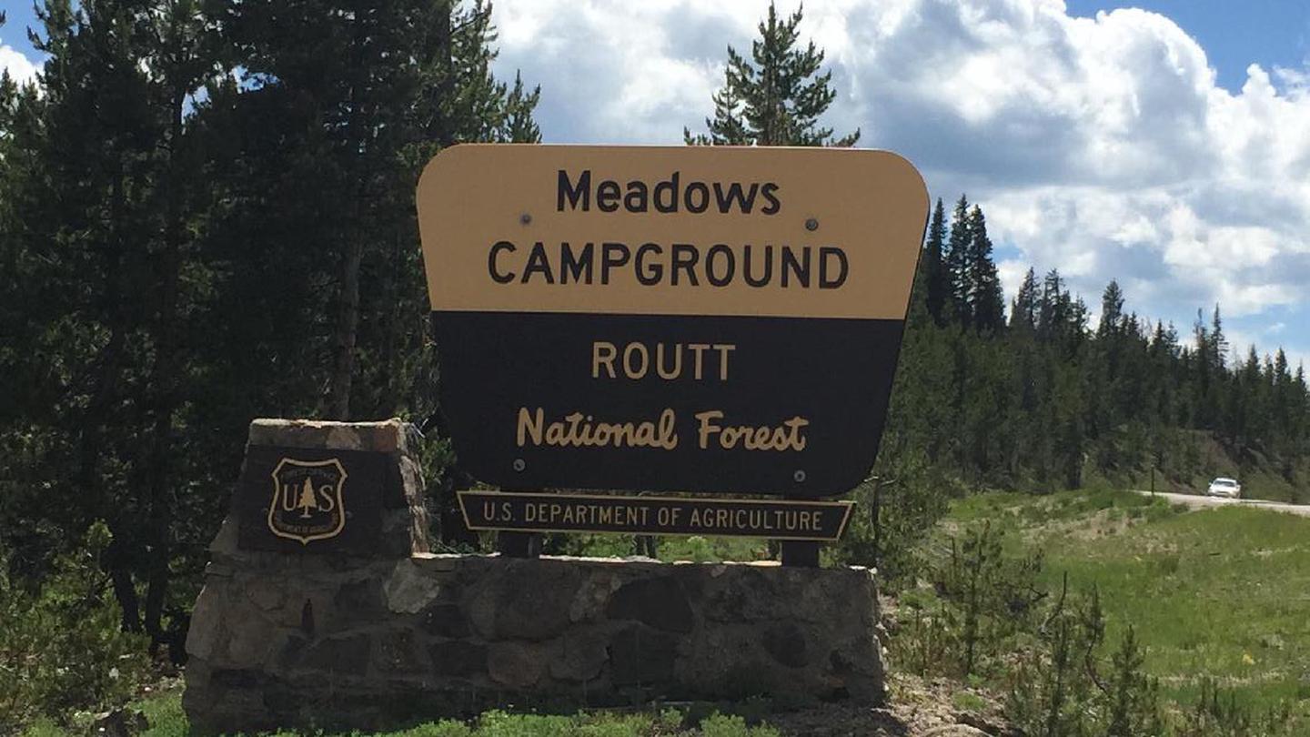
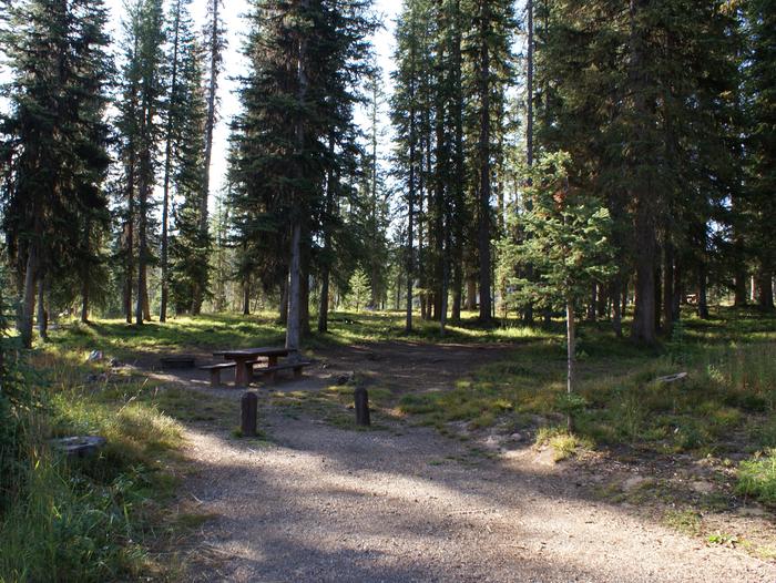
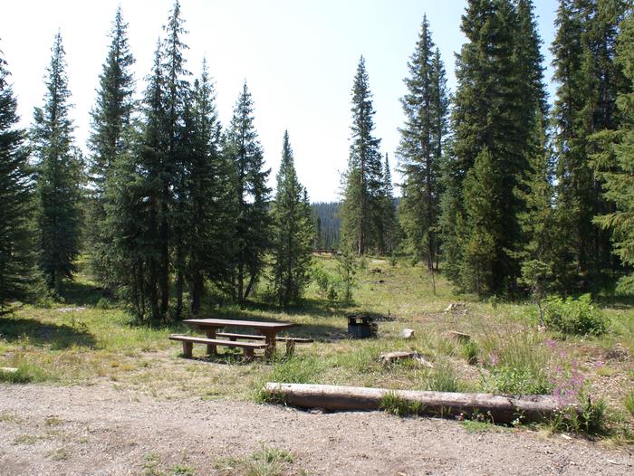
Meadows Campground is located on Rabbit Ears Pass outside of Steamboat Springs, CO and is surrounded by Spruce, Fir and Lodgepole forest. It has 30 campsites, with a combination of pull-through, back-in and walk-in tent sites. At an elevation of 9,300 feet, Meadows campground lies near the top of Continental Divide in the Park Range. Activities include stream fishing, hiking, wildflower viewing, and mountain biking easily accessible on nearby trails. Established Forest Service summer hiking and mountain biking trails are accessible nearby from the road to Dumont Campground (NFSR 315). Vault toilets and garbage services are provided.
Vault toilets and garbage services provided.
• No water available
• This is a high elevation facility (9,300 ft); please use caution when traveling from lower elevations.
• Be bear aware; keep all food out of site in approved containers or locked inside your vehicle and remove all food from area after eating.
• Don't Move Firewood: Prevent the spread of tree-killing organisms by obtaining firewood at or near your destination and burning it on-site. For more information visit dontmovefirewood.org.
At an elevation of 9,300 feet, Meadows campground lies in the Rocky Mountains in the heart of the Routt National Forest on Rabbit Ears pass. The Medicine Bow-Routt National Forests and Thunder Basin National Grassland encompass nearly three million acres from central and northeastern Wyoming to north-central Colorado. Black bear, bobcat, coyote, elk, mule deer and moose are just some of the many animals that inhabit these rich and diverse lands.
Activities include stream fishing, hiking and mountain biking easily accessible. Camping limit is 14 days.
Hahns Peak/Bears Ears Ranger District 970-870-2299 925 Weiss Dr Steamboat Springs, CO 80487 M-F 8-4:30
Learn more about gear rental options for your trip
Directions from Steamboat Springs, CO: Travel 15 miles southeast of Steamboat Springs on US Highway 40 to Rabbit Ears Pass. The Campground is located on the south side of the highway, on Forest Road 297 near the west summit of the pass.


Recreation.gov is your gateway to explore America's outdoor and cultural destinations in your zip code and across the country. We provide tools and tips to discover new adventures through a one-stop shop for inspiration and ideation, trip planning, information sharing, and reservations. Find incredible places and experiences that help you bring home a story through Recreation.gov!