Basin Cove Backcountry Camping
Blue Ridge Parkway
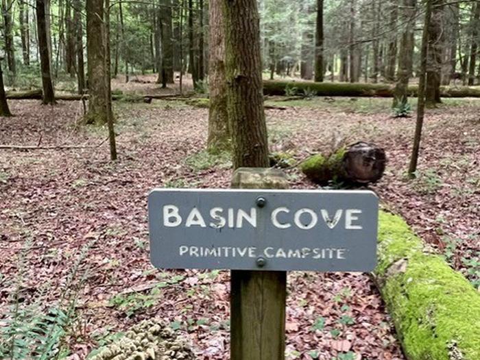
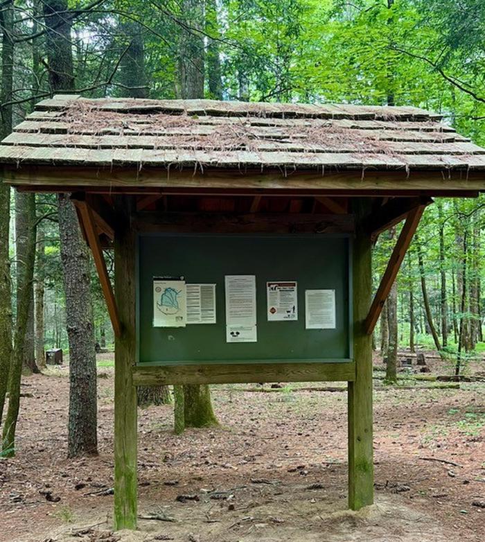
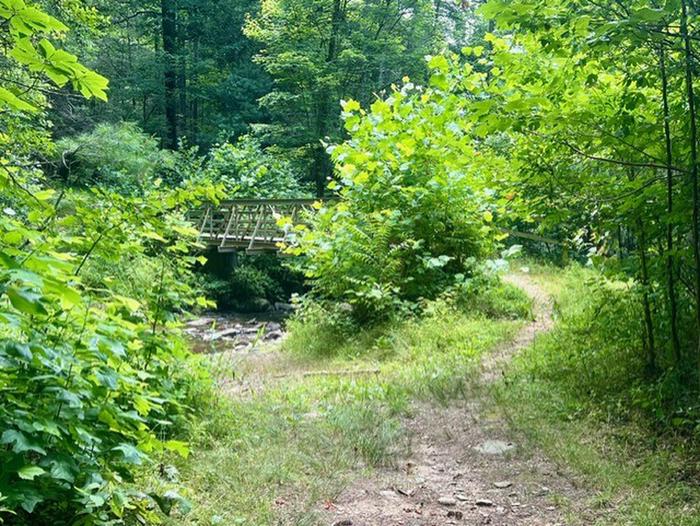
Basin Cove backcountry is a primitive camp located in historic Basin Cove at Doughton Park on the Blue Ridge Parkway in North Carolina.. Multiple trails allow access to the primitive campground. Click to see a map Doughton Park Hiking Trails
Overnight parking for backcountry is permitted at designated areas.
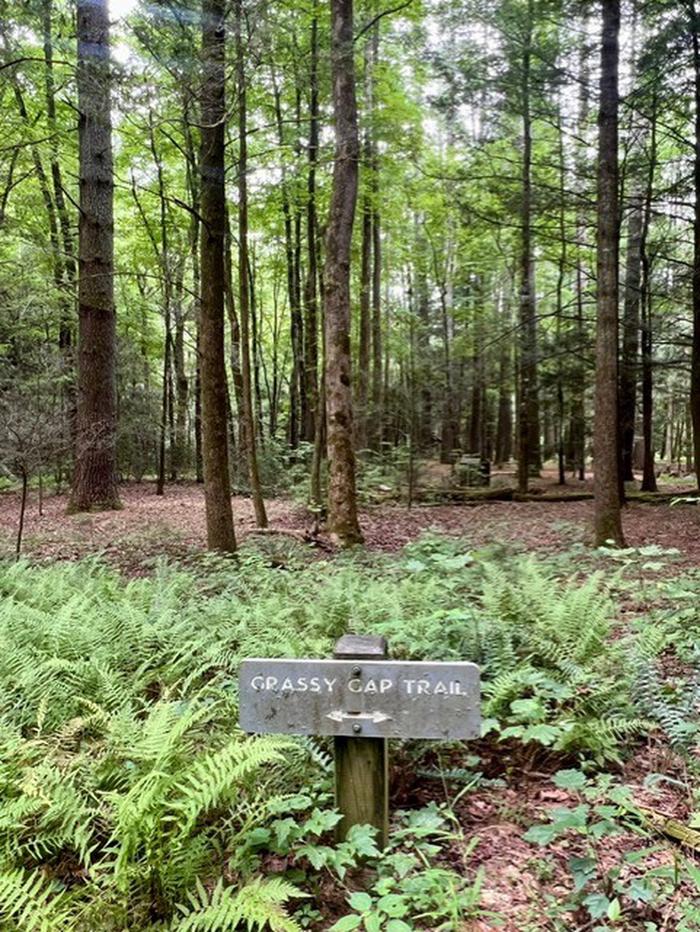
From the parkway, the trails descend over 1500 feet into the Basin Cove Area. Easiest trail is the Grassy Gap Fire Road entrance from Longbottom Road.
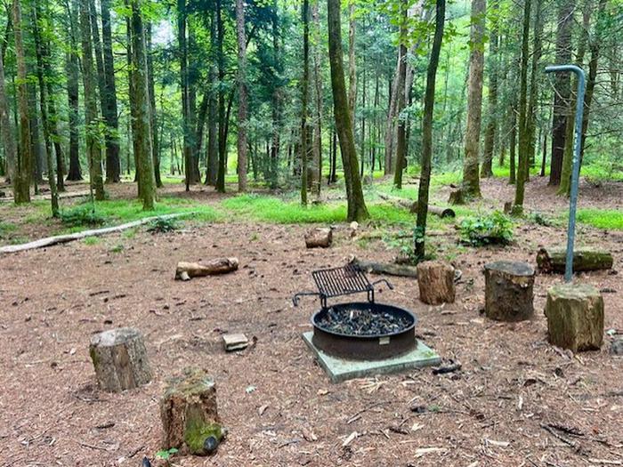
This year-round campground has eight campsites each with individual fire rings, lantern post, and food storage boxes. No pit toilet or privy exists. Note particularly that surface water is unsafe. Water from natural sources must be purified by boiling or filtering and disinfecting.
Thunderstorms are common along the escarpment.
Cell phones most likely do not work in the area.
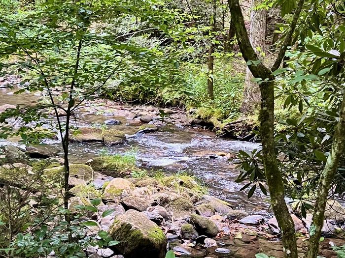
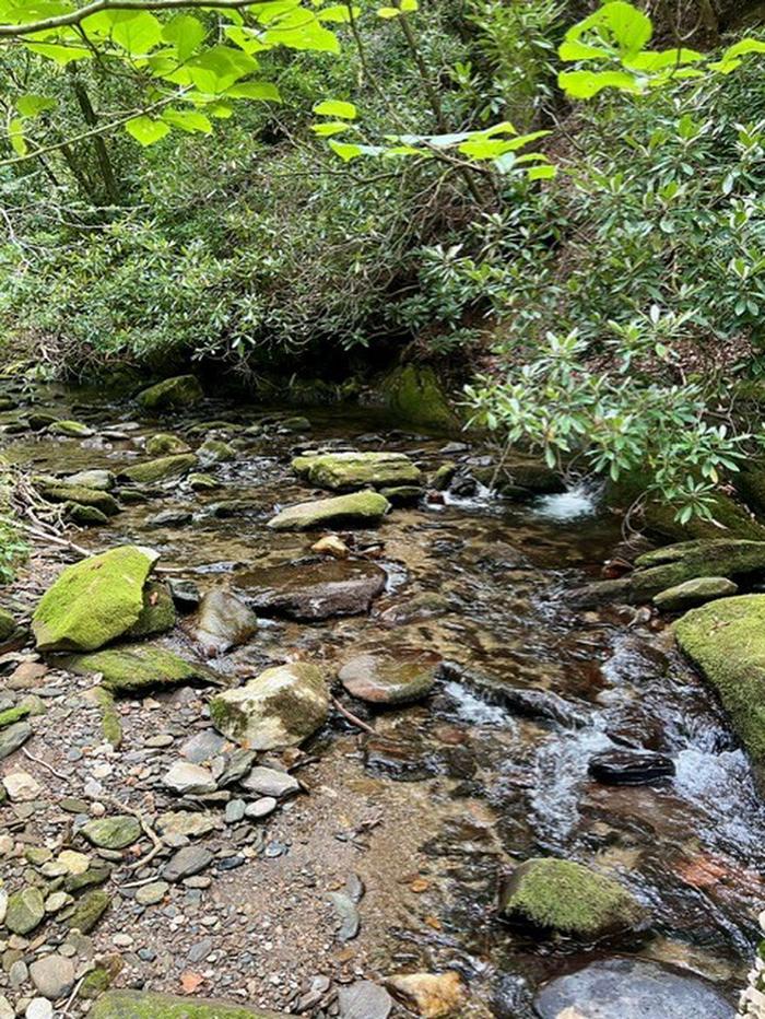
Multiple creeks provide fishing opportunities.
This year-round backcountry camping area has eight campsites each with individual fire rings, lantern post, and food storage boxes. No pit toilet or privy exists so be prepared to dispose of waste properly. Note: Surface water is unsafe. Water from natural sources must be purified by boiling or filtering and disinfecting.
Notifications and Alerts
Need to Know
Backcountry Use Regulations
1. A backcountry camping permit is required for all overnight use and must be in your possession at all times.
2. Camping outside of the designated sites is prohibited.
3. Campfires are allowed only inside the government provided fire grill. Only wood that is dead and down on the ground may be collected for use as firewood. The cutting of standing trees, whether live or dead is prohibited. The use of camp stoves is encouraged. All fires may be banned during periods of high fire danger.
4. All trash must be carried out upon vacating the site. Do not leave litter or cans in the fire rings. DO NOT burn or bury any trash.
5. Historic and archeological resources are protected by federal law. The damaging, defacing or removal of these resources is prohibited.
6. Natural resources are protected by federal law. Do not disturb or remove any animal or plant life.
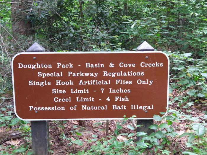
7. Hunting and trapping are prohibited. Fishing is subject to state and federal laws and limits.
8. Persons who can legally possess firearms under federal, state, and local laws are able to possess firearms on the Blue Ridge Parkway, subject to the laws of the state they are in at the time. It is the visitor's responsibility to understand and comply with all applicable state (North Carolina and/or Virginia) and federal firearms laws. Firearms should not be considered a wildlife protection strategy. The discharge and/or use of firearms remains prohibited at all times.
9. Pets must be on a 6 foot maximum leash at all times while in the park. Horseback camping is not permitted. Horses are allowed on the Grassy Gap Fire Road during the day.
10. All human waste must be buried at least 6 inches deep and at least 100 feet from any stream. Pack out all diapers, tampons, and sanitary napkins in a sealed plastic bag.
11. Campsite improvements such as bough beds and trenching around tents is prohibited, as is the use of nails or spikes in trees for clotheslines, shelter construction or hanging lanterns.
12. Bathing or washing dishes or utensils in streams is prohibited. All unprotected water should be treated before consuming.
13. Food and other scented items must be in bear-proof containers, stored in park provided bear boxes (if available) or hung in a tree at least 10 feet above the ground and 4 feet from the trunk of the tree.
Do not print your permit until you have confirmed you will be completing your backcountry trip. Once the permit has been printed you can not cancel or modify the reservation.
Permits must be printed and carried on your person. You must write the permit number on a sheet of paper and place it on the dash of all vehicles covered by the permit.
This is Black Bear Country, practice Bear Safety and store all food, toiletry items and anything with a scent properly. Bear Safety on the Blue Ridge Parkway.
Cell phones most likely do not work in the area.
Check InTime is 3PM and Check Out Time is 12 Noon.
Natural Features
Basin Cove was a thriving community of over 50 families from 1863 to 1916. Two stalled tropic storms dumped 22.2 inches of rain during a 3-day period in 1916, causing massive mudslides that wiped out all but 1 and half homes. Remnants of homesites and graves are scattered throughout the area. The 3.5-mile Caudill Cabin trail leads the only existing cabin.
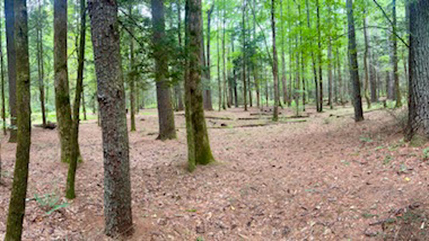
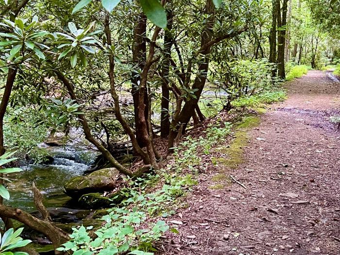
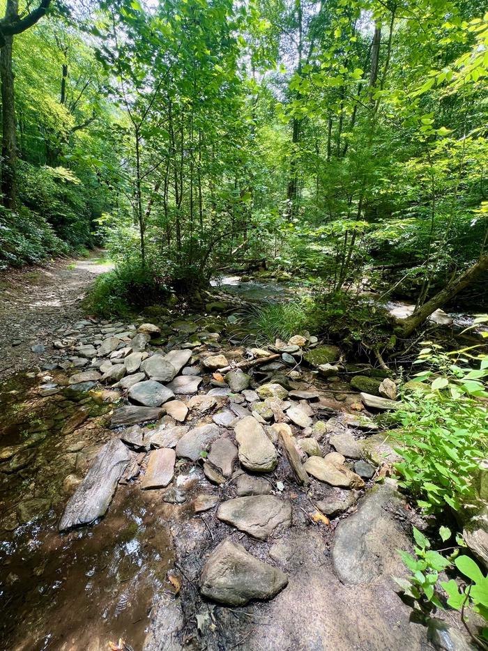
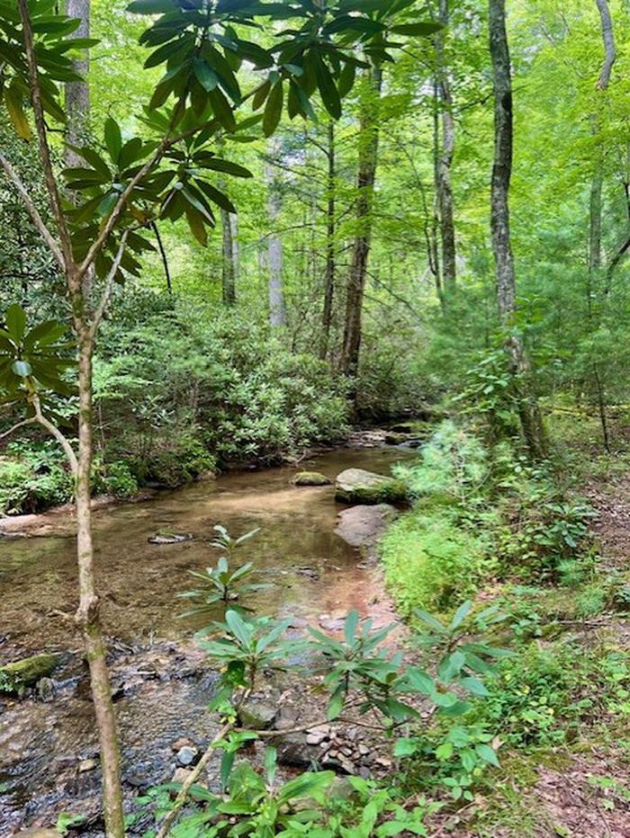
The campground is situated among a mixed hardwood and conifer forest with multiple creeks.
Special Parkway water regulations apply in Basin Cove. Fishing
Black Bears inhabit the 6,000 plus acres of public land.
Nearby Attractions
Stone Mountain State Park Stone Mountain State Park
Alleghany County Alleghany County
Wilkes County Wilkes County
New River New River
Recreation
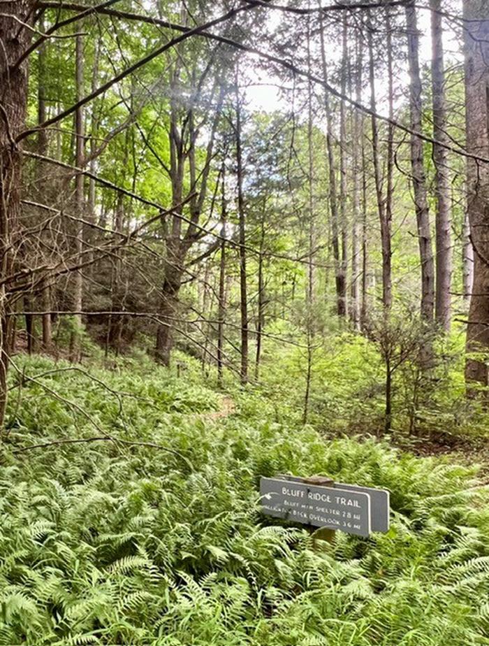
Doughton Park trails system offers more than 28 miles of hiking trails. From the campsites, trails ascend 1,500 feet to the Blue Ridge Parkway. The most difficult trail up to the parkway is the Bluff’s primitive trail. The easiest route in and out of the campsite is at Longbottom Road via the Grassy Gap Fire Road.
Contact Information
Mailing
C/O REVENUE AND FEE BUSINESS SPECIALIST BLUE RIDGE PARKWAY 199 HEMPHILL KNOB ROAD ASHEVILLE NC 28803
Physical
Doughton Park Recreation Area Milepost 238 Blue Ridge Parkway Laurel Springs NC 28644
Phone Number
For campground inquiries, please call: 828-276-2300
Rental Options
Learn more about gear rental options for your trip
Driving Directions
Grassy Gap Fire Road on Long Bottom Road is the shortest and easiest route into the backcountry.
Long Bottom Road from Blue Ridge parkway
· From the Blue Ridge Parkway, Head South on NC 18 for 6.2 miles.
· Turn Left on Longbottom Road and go 6.4 miles to a small Bridge with Black & Yellow Marker signs.
· Parking Area (36.3752 -81.1447) is beside the Bridge. Elevation 1440.
· Trail to Basin Cove Primitive Camping Area is across the Road from the Parking Area. Look for gated road.
Note:
Long bottom road can be accessed from other routes.
1/ Basin Cove from Wilkesboro, NC
From US Hwy 421 in Wilkesboro, take Hwy 18 North towards Sparta. Travel approximately 17.6 miles to Longbottom Road in the community named McGrady.
Turn right on Longbottom Road and go 6.4 miles to a small Bridge with Black & Yellow Marker signs.
2/ Alternative routes from the east include US hwy 21 and from Stone Moutain State Park.
Other locations to park are along the Blue Ridge Parkway as follows:
Bluff Mountain Overlook - Milepost 243.4 (36.408341666666 -81.195863888888)
Basin Cove Overlook - Milepost 244 (36.391030555555 -81.20025833333)
Grassy Gap Fire Road - Milepost 243.9 (36.404694444444 -81.19649722222)
Bluff's Restaurant - Milepost 24 (36.433525000000 -81.17739166666)
Doughton Park Picnic Area - Milepost 241 (36.433525000000 -81.17739166666)
Brinegar Cabin - Milepost 238.5 (36.419452777777 -81.14617222222)
Available Campsites
- Site 1, Loop Basin Cove, Type Hike To
- Site 4, Loop Basin Cove, Type Hike To
- Site 7, Loop Basin Cove, Type Hike To
- Site 3, Loop Basin Cove, Type Hike To
- Site 2, Loop Basin Cove, Type Hike To
- Site 8, Loop Basin Cove, Type Hike To
- Site 5, Loop Basin Cove, Type Hike To
- Site 6, Loop Basin Cove, Type Hike To
Photo Gallery
