1
Campground
Campground Calendar
mm
/
dd
/
yyyy
mm
/
dd
/
yyyy
May | |||||||||||
|---|---|---|---|---|---|---|---|---|---|---|---|
Availability Table Bottom Menu
No Campsites Selected
Content is loading
May | |||||||||||
|---|---|---|---|---|---|---|---|---|---|---|---|
No Campsites Selected
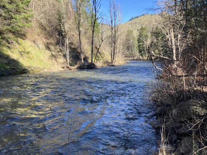
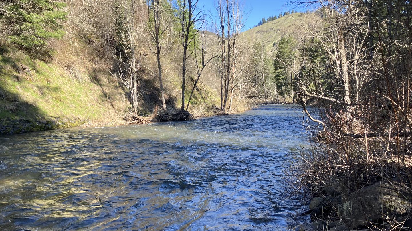
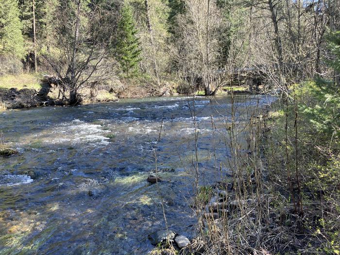
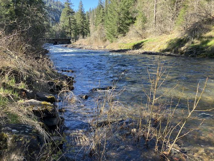
Situated between the South Fork and the North Fork of the Umatilla River, this campground offers many more activities than just camping. Fishing (catch and release) and hiking in the North Fork Umatilla Wilderness are popular from early spring to late fall. With campsites nestled within a riparian area among an ample mix of conifers and deciduous trees and heavy vegetation that provides great privacy, you will think you are camping in the wilderness itself!
This location is available on a first-come, first-served basis only. Visitors are required to physically arrive at the campground to purchase and claim a site. Once on-site, you may be able to pay for your campsite(s) by scanning a QR code using the Recreation.gov mobile app, and the Scan and Pay feature.
If this option is available, you will need to first download the free Recreation.gov mobile app https://www.recreation.gov/mobile-app prior to your arrival as some remote areas have limited or no cellular service.
Fire rings, picnic tables, one patable water site and three vault toilets.
Situated between the South Fork and the North Fork of the Umatilla River with a fantastic view the lower North Fork Umatilla Wilderness and Graves Butte.
North Fork Umatilla WIlderness, North and South Fork Umatilla Rivers.
South Fork and the North Fork of the Umatilla River for fishing and hiking in the North Fork Umatilla Wilderness.
1415 West Rose Walla Walla WA 99362
For campground inquiries, please call: (509) 522-6290
Learn more about gear rental options for your trip
From Pendleton, Oregon: Drive east for 7 miles on Interstate 84 and take Exit 216. Go left (north) for 2 miles to the blinking 4-way stoplight. Take a right onto Mission Road and continue onto Cayuse Road/County Road 931/Emigrant Road. After 1.7 miles turn left onto Cayuse Road (follow Bar M Ranch signs). Travel about 16 miles to where it meets Bingham Road. Turn right onto Bingham Road/County Road 900, cross the railroad tracks, and follow Bingham Road/County Road 900 (NOTE: this road becomes Forest Service Road 32 at the forest boundary) for approximately 14 miles to the campground entrance on your right.
From Walla Walla, Washington: Take Highway 11 to Adams, Oregon and turn left at McGregor on Mann Road. Travel 5 miles and turn left onto Cayuse Road. Travel Cayuse Road for 1.25 miles and turn left onto Bingham Road/County Road 900, cross the railroad tracks, and follow Bingham Road/County Road 900 (NOTE: this road becomes Forest Service Road 32 at the forest boundary) for approximately 9.5 miles to the campground entrance on your right.
Recreation.gov is your gateway to explore America's outdoor and cultural destinations in your zip code and across the country. We provide tools and tips to discover new adventures through a one-stop shop for inspiration and ideation, trip planning, information sharing, and reservations. Find incredible places and experiences that help you bring home a story through Recreation.gov!