Deerlick Creek
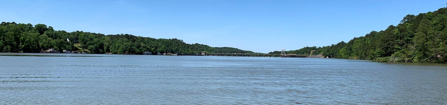
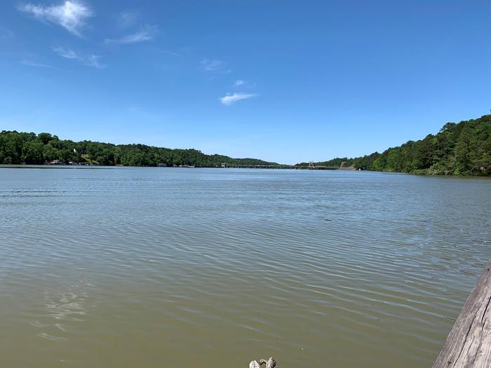
Black Warrior and Tombigbee Lakes
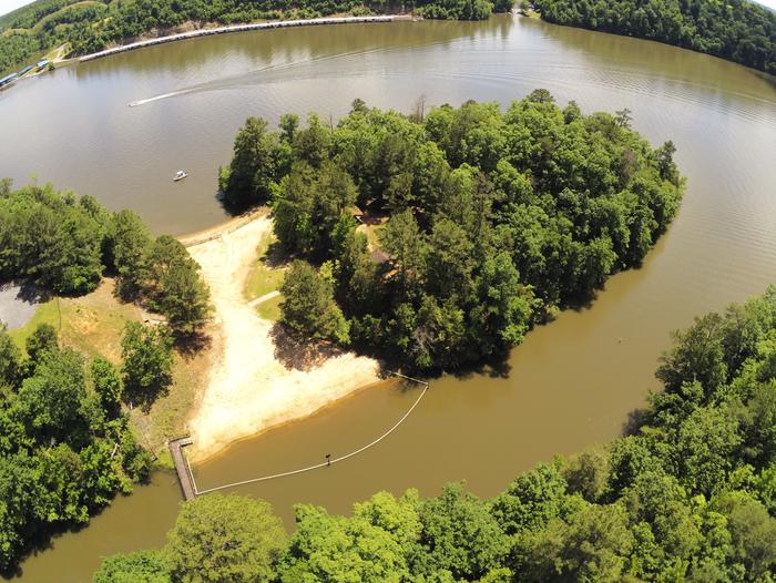
Deerlick Creek Campground is located on Holt Lake on the Black Warrior-Tombigbee Waterway northeast of Tuscaloosa, Alabama.
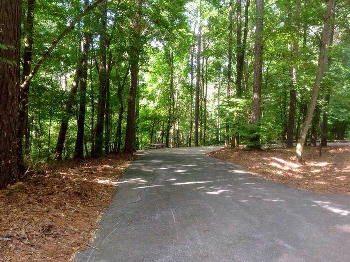
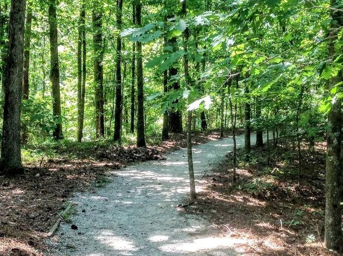
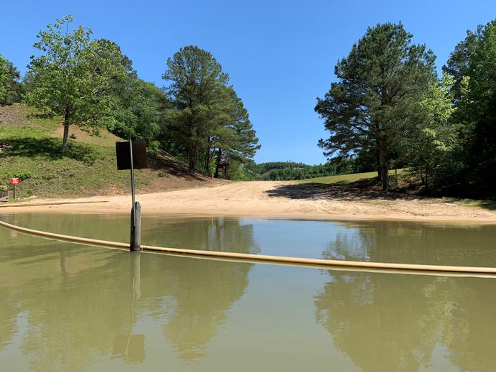
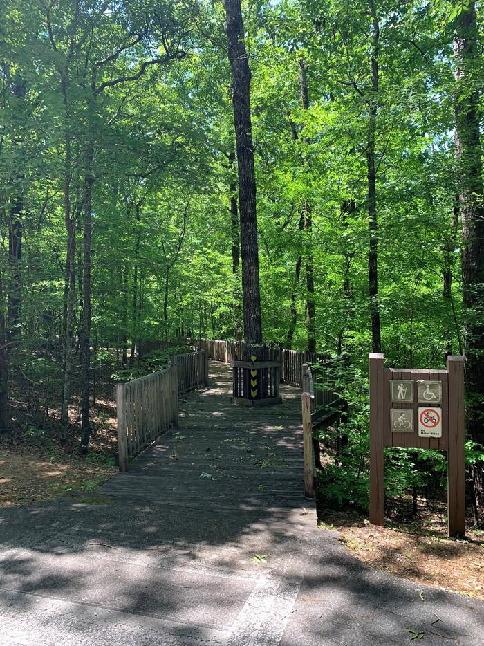
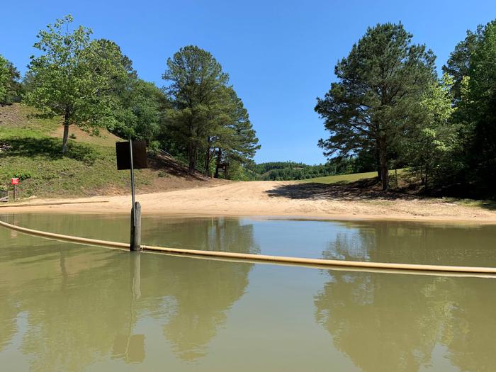
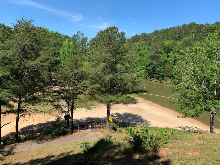
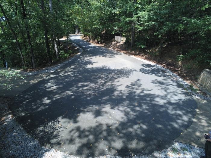
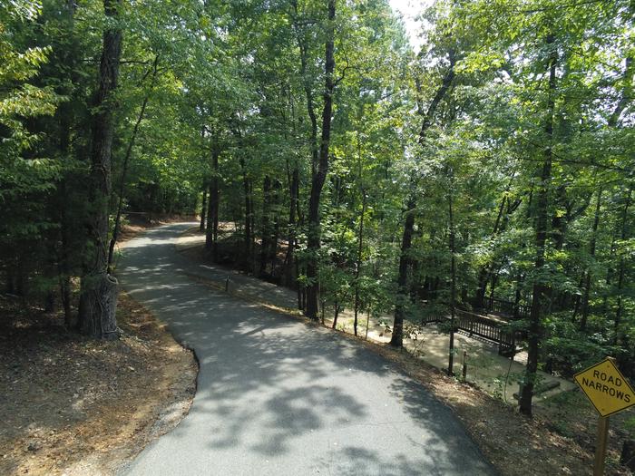
The facility is in a beautiful forest along the shoreline, providing campers and day-use visitors with access to water sports, boating, fishing, swimming, hiking and biking.
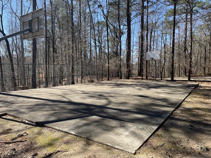
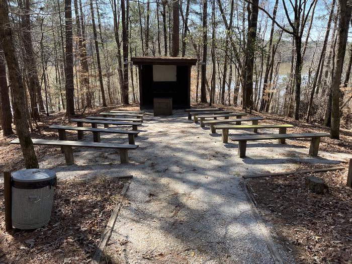
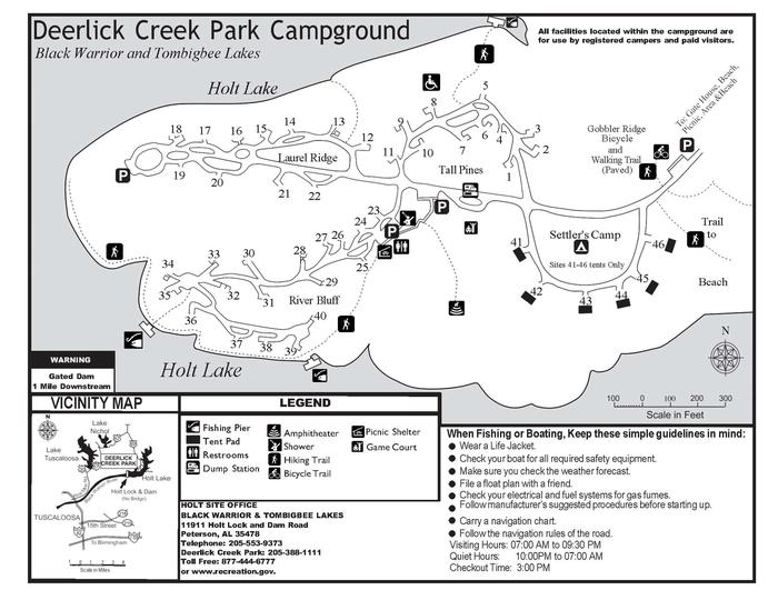
Deerlick Creek has 46 campsites with water and electric hookups, six of which are designated tent only. There is also one group picnic shelter that can be reserved for day use. Families with children have the convenience of showers, a multi-use court and swimming beach.
Need to Know
Park Attendants will NOT be making reservations at the gatehouse. All reservations will be made via the recreation.gov app, recreation.gov website, or by calling 877-444-6777.
- Gates are open from 7 a.m. to 10 p.m.
Hiking trails, bicycle trail and group shelters are for registered guests only.
Limit of two vehicles per site.
- Electric and gas scooters must be licensed and street legal
- Park attendants cannot perform site transfers Thursday-Saturday or on holiday weekends during the peak season
- Don't Move Firewood: Protect your forests from tree-killing pests by buying your firewood locally and burning it on-site. Visit Dontmovefirewood.org for further information.
No ATV or UTV use is allowed.
For more information, visit: https://www.sam.usace.army.mil/Missions/Civil-Works/Recreation/Black-Warrior-Tombigbee-BWT-Lakes/
ALL Visitors must exit the park by 9:30 p.m.
Natural Features
Holt Lake was created by the damming of the Black Warrior River. The campground is situated amidst a mixed pine and hardwood forest, which displays colorful foliage along the riverbanks each fall. Deer, squirrel, wild turkey, migratory birds and blue birds, all live in the Holt Lake area. The Black Warrior-Tombigbee Waterway consists of six lakes with a total length of 457 miles and 39,800 surface acres of water. Temperatures range from the 80s to 90s from April through September, and annual rainfall averages about 60 inches.
Nearby Attractions
Deerlick Creek is 17 miles from the University of Alabama where you can find sporting events, museums, and other attractions. Deerlick Creek is also located 13 miles from Ol' Colony Golf Course home to the University of Alabama golf teams as well as a disc golf course.
Recreation
Campers can explore the lakeshore using the campground's hiking trails as well as a paved bicycle trail. The waterway is popular for fishing for bass, crappie, bream, catfish and more.
Contact Information
Default
12421 DEERLICK RD TUSCALOOSA AL 35406
Phone Number
For campground inquiries, please call: 205-759-1591
Rental Options
Learn more about gear rental options for your trip
Driving Directions
From I-59 in Alabama, take Exit 73 (MacFarland Boulevard). Go west on MacFarland Blvd./Highway 82 for approximately 4.2 miles. Veer right onto Rice Mine Road. At the stoplight turn left onto Rice Mine Rd. Then, turn right at the stoplight onto New Watermelon Road and follow it for 3.4 miles. Turn right at the stop sign onto Lake Nicol Road, and follow Lake Nicol Rd. for 3.4 miles to Deerlick Road. Turn right onto Deerlick Rd. for approximately 3.2 miles to Deerlick Park.
Available Campsites
- Site 02, Loop TPIN, Type Standard Electric
- Site 38, Loop RBLU, Type Standard Electric
- Site 23, Loop RBLU, Type Standard Electric
- Site 30, Loop RBLU, Type Standard Electric
- Site 34, Loop RBLU, Type Standard Electric
- Site 12, Loop LRID, Type Standard Electric
- Site 44, Loop SCAM, Type Tent Only Electric
- Site 32, Loop RBLU, Type Standard Electric
- Site 45, Loop SCAM, Type Tent Only Electric
- Site 41, Loop SCAM, Type Tent Only Electric
- Site 28, Loop RBLU, Type Standard Electric
- Site 20, Loop LRID, Type Standard Electric
- Site 43, Loop SCAM, Type Tent Only Electric
- Site 03, Loop TPIN, Type Standard Electric
- Site 40, Loop RBLU, Type Standard Electric
- Site 33, Loop RBLU, Type Standard Electric
- Site 22, Loop LRID, Type Standard Electric
- Site 19, Loop LRID, Type Standard Electric
- Site 27, Loop RBLU, Type Standard Electric
- Site 10, Loop TPIN, Type Standard Electric
- Site 36, Loop RBLU, Type Standard Electric
- Site 31, Loop RBLU, Type Standard Electric
- Site 24, Loop RBLU, Type Standard Electric
- Site 37, Loop RBLU, Type Standard Electric
- Site 05, Loop TPIN, Type Standard Electric
- Site 09, Loop TPIN, Type Standard Electric
- Site 14, Loop LRID, Type Standard Electric
- Site 42, Loop SCAM, Type Tent Only Electric
- Site 35, Loop RBLU, Type Standard Electric
- Site 11, Loop TPIN, Type Standard Electric
- Site GS1, Loop RBLU, Type Group Shelter Electric
- Site 04, Loop TPIN, Type Standard Electric
- Site 06, Loop TPIN, Type Standard Electric
- Site 39, Loop RBLU, Type Standard Electric
- Site 26, Loop RBLU, Type Standard Electric
- Site 08, Loop TPIN, Type Standard Electric
- Site 29, Loop RBLU, Type Standard Electric
- Site 13, Loop LRID, Type Standard Electric
- Site 16, Loop LRID, Type Standard Electric
- Site 21, Loop LRID, Type Standard Electric
- Site 15, Loop LRID, Type Standard Electric
- Site 01, Loop TPIN, Type Standard Electric
- Site 07, Loop TPIN, Type Standard Electric
- Site 25, Loop RBLU, Type Standard Electric
- Site 17, Loop LRID, Type Standard Electric
- Site 46, Loop SCAM, Type Tent Only Electric
- Site 18, Loop LRID, Type Standard Electric
Photo Gallery