Facilities
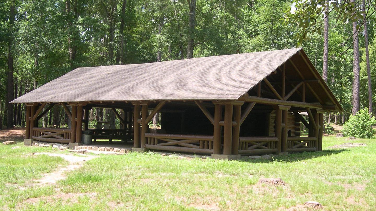
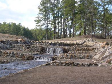
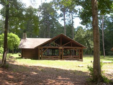
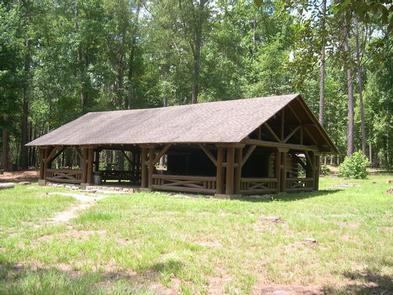
The group picnic shelter accommodates up to 74 guests and is available for reservation. It is adjacent to the hiking trail and creek.
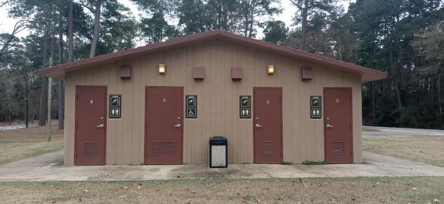
The campground has several standard sites for tents and RVs, as well as a few tent-only sites. Drinking water, flush toilets and hot showers are available at the campground.
Campsites: All campsites are first come, first served; 17 campsites No electric or water. Back-in campers and tents; campsite can accommodate up to 23 ft. in length
Camping Fee: $10; 14 days camping limit; up to 2 tents;8 people per site
Day Use Shelter available for Reservation: 877-444-6777 or through website (www.Recreation.gov)
Natural Features
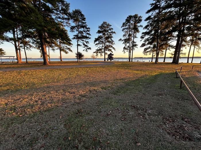
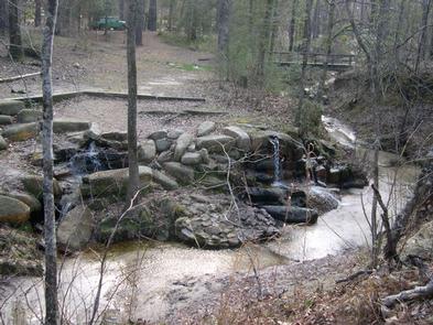
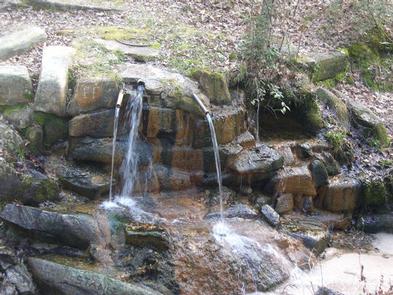
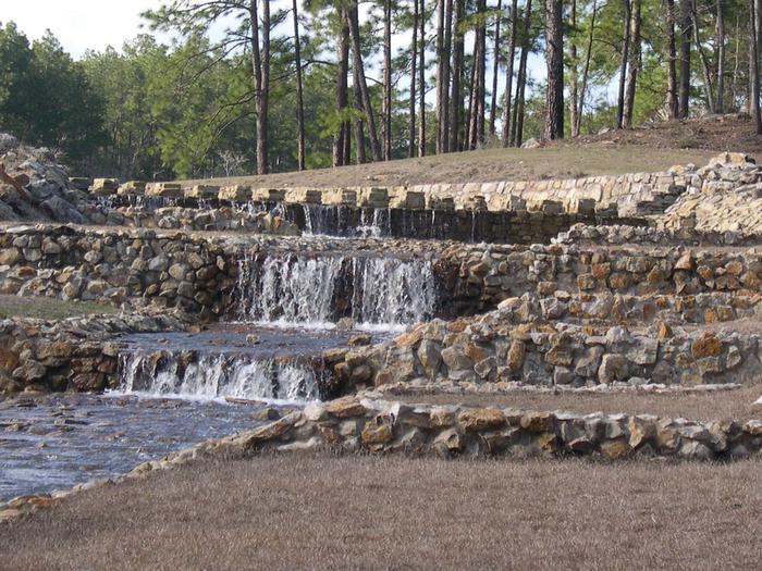
The area is forested with pines and hardwoods. Wildlife is abundant, and the region is a hot spot for migratory birds.
Recreation
The group picnic area provides direct access to the Sawmill Trail, a hiking trail that winds through the forest to the Aldridge Sawmill Historical Site.
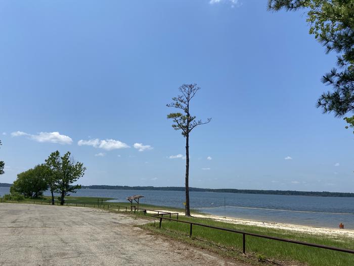
Activities: fishing, no designated swimming area, hiking trail
From US 69: SH 63 SE 11 miles; FSR 313 S 2.5 miles. 936-897-1068; recreation.gov
31.05186, -94.26804
Recreation Sites
- Group Shelter Nonelectric
- Day
Activities
- Wildlife Viewing
- Hiking
- Fishing
- Camping
- Biking
- Non-Motorized Boating
Amenities
- Accessible Campsites
- Accessible Drinking Water
- Accessible Grills
- Accessible Parking
- Accessible Pit Toilets
- Accessible Showers
- Accessible Sites
- Accessible Walkways
- Campfire Rings
- Drinking Water
- Flush Toilets
- Grills
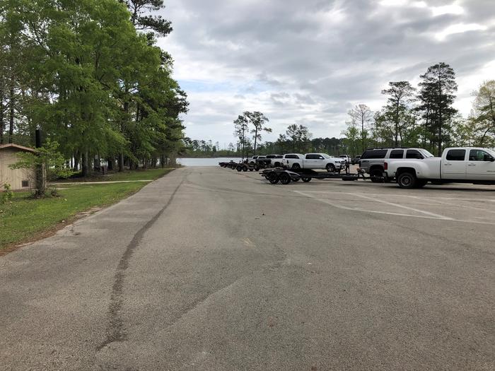
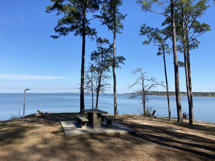
- Lake Access
- Paved Parking
- Paved Pathways
- Paved Roads
- Pets Allowed
- Picnic Tables
- Security Lights
- Showers
- Tent Pads
- Trailhead Parking
- Trailheads
- Grills/Fire Ring
- Picnic Table
- Accessibility
Nearby Attractions
Aldridge Sawmill Historical Site
Sam Rayburn Reservoir
Getting Here
Need to Know
Contact Information
For campground inquiries, please call: 936-897-1068
Additional Information
Campgrounds Nearby