Badin Lake Campground
BADIN LAKE CAMPGROUND
Part of National Forests in North Carolina
Overview
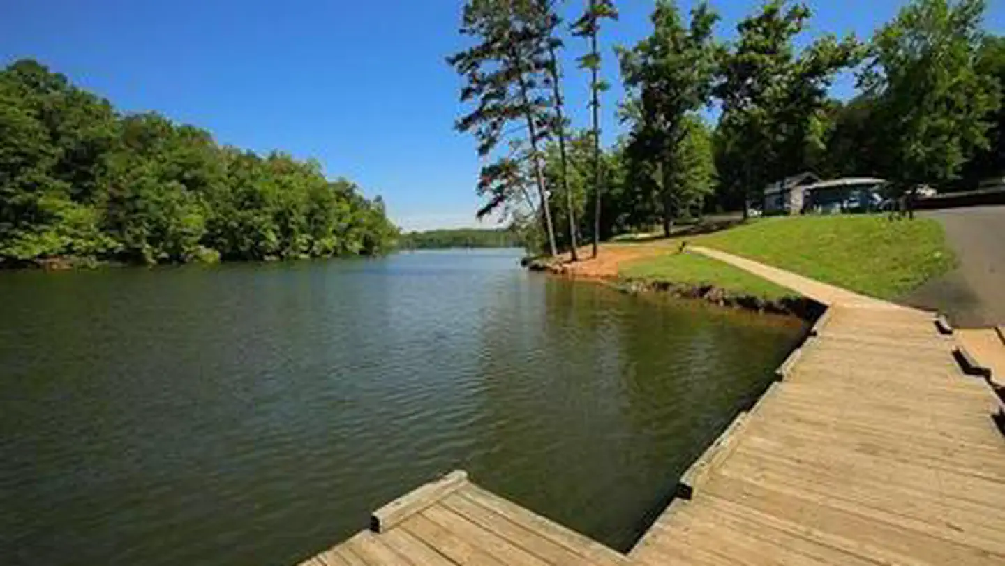
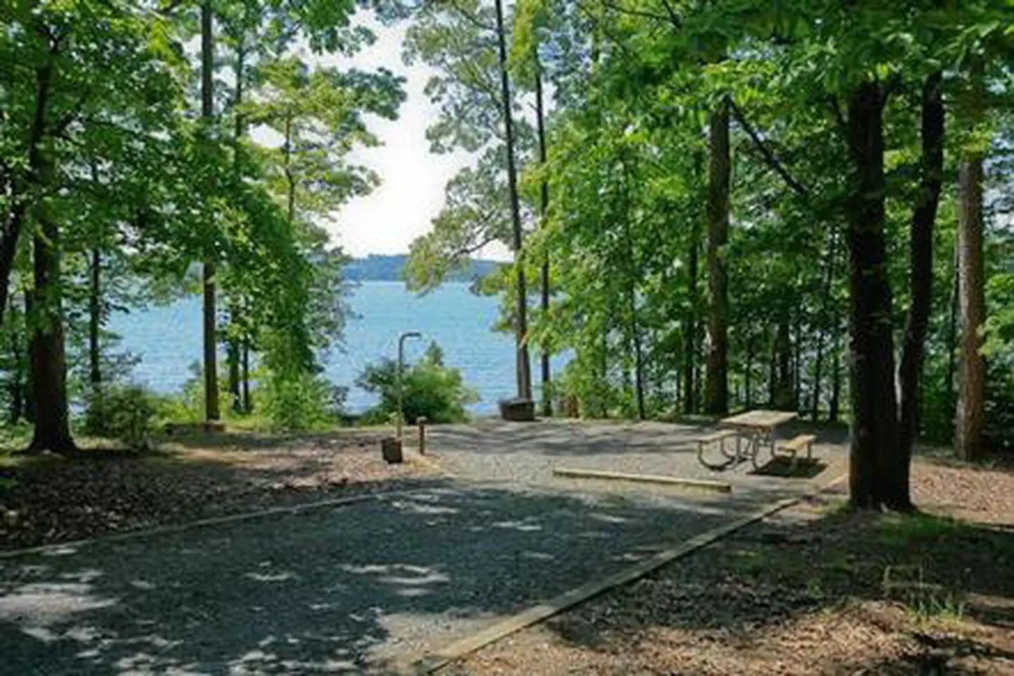
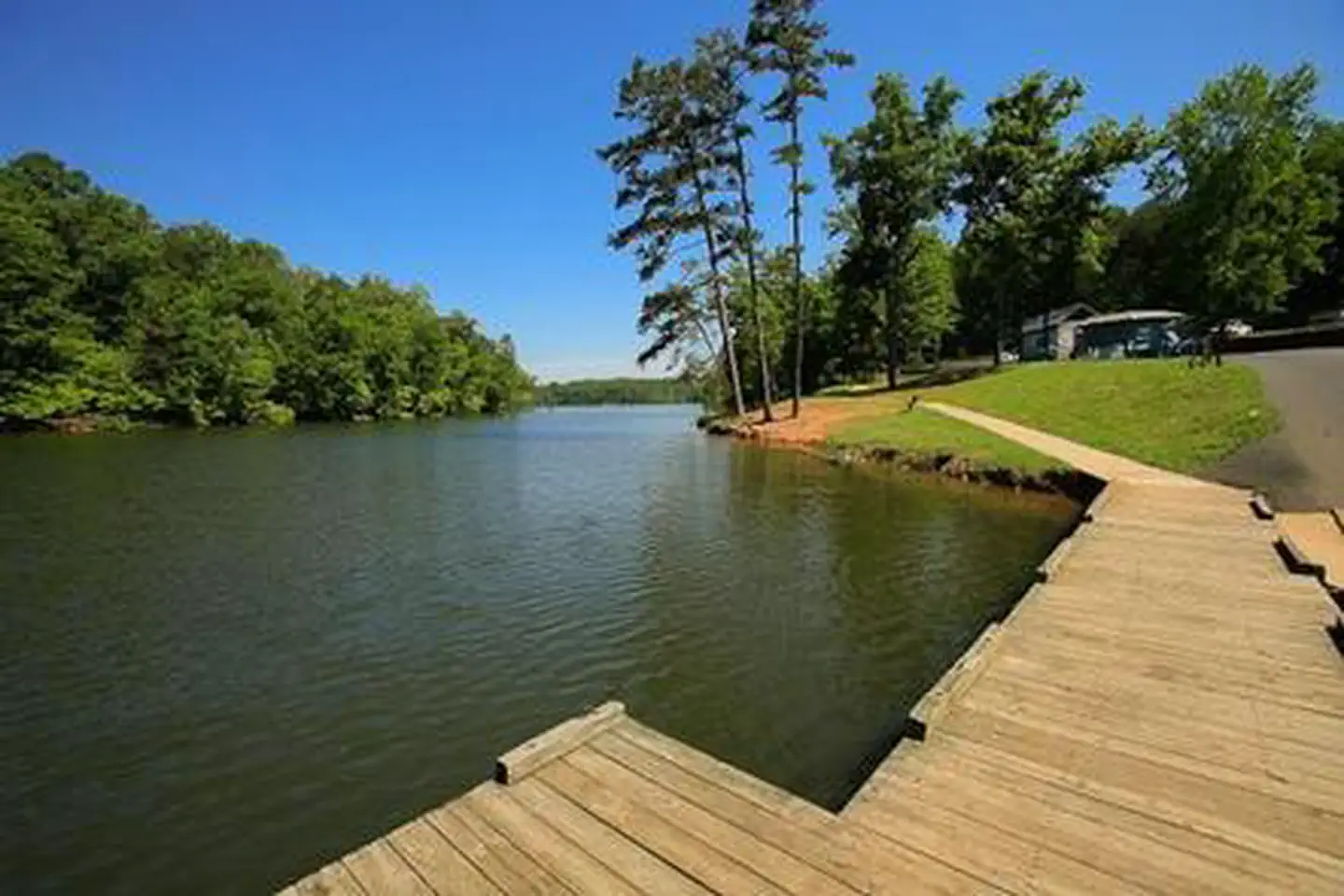
Badin Lake Campground borders the lakeshore and sits within a shaded forest, offering a year-round retreat for swimmers, boaters and anglers in central North Carolina's Uwharrie National Forest. Badin Lake Recreation Area is a hub for the area's outdoor activities, and the campground offers spacious, waterfront sites for both RV and tent campers.Facilities
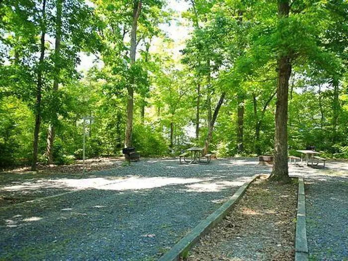
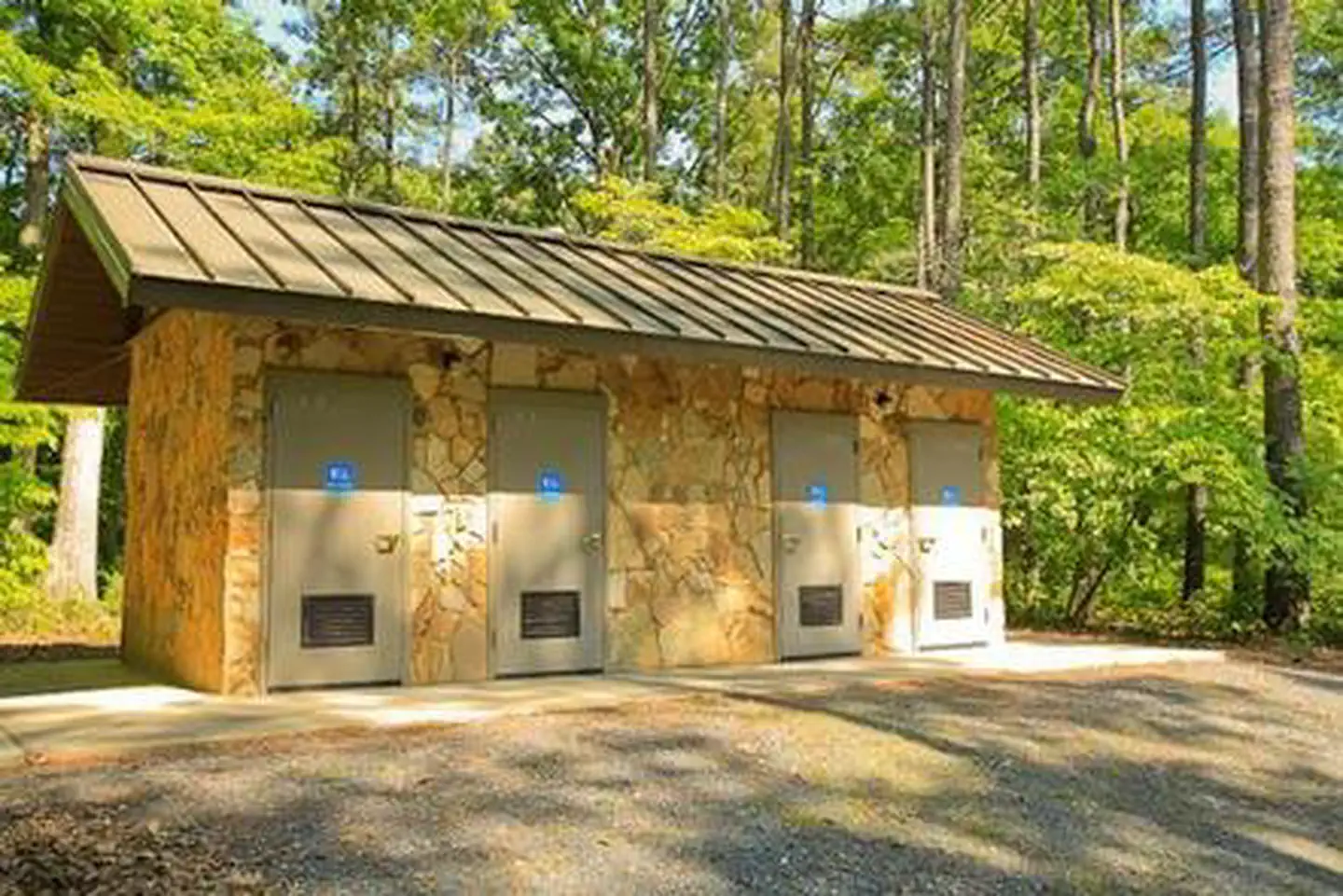
The campground has two loops of non-electric sites, some of which lie on the shore. Each site is near drinking water and is equipped with a table, grill, lantern post, campfire ring and tent pad. Flush toilets and showers are located in both loops. No dump station is available. The upper loop sites #23-35 are unavailable from January 1 to March 12, 2020.
Natural Features
The campground lies in a dense forest of pines and hardwoods near the shore of 5,000-acre Badin Lake.Winter temperatures range from the low 30s to upper 50s, while summer brings temperatures in the upper 80s and 90s and high humidity. The weather is pleasant in spring and fall, with high temperatures in the 60s and 70s.
Recreation
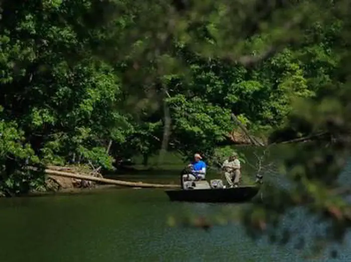
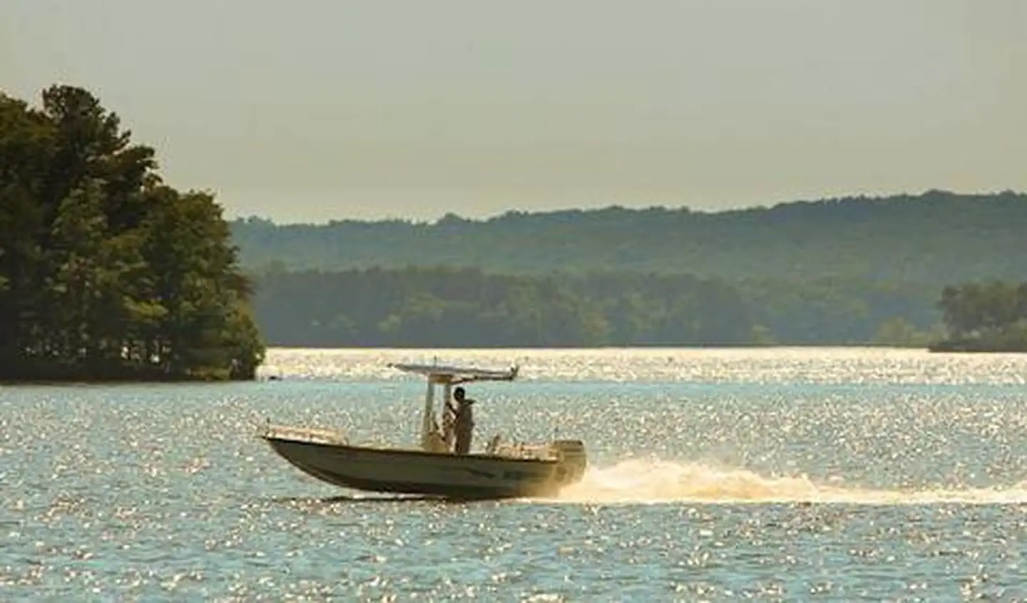
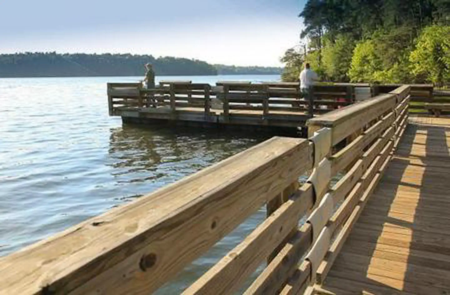
Badin Lake Recreation Area offers many ways for campers to enjoy the lake. Popular activities include picnicking on the shore or swimming, boating or fishing for bass, bream, crappie and catfish on the water. Anglers and boaters have the convenience of a boat ramp 2 miles from the campground.About 40 miles of non-motorized trails are available for horseback riding, mountain biking and hiking, as well as 17 miles of motorized trails for off-road vehicle riding. The surrounding land offers both big and small game hunting.
Nearby Attractions
A theme park with a petting zoo, nature center and mini golf course lies just under an hour away and makes a fun day trip for families.Important Notices
Throughout the year the Uwharrie National Forest performs prescribed burns. Some of these burns will be next to and around this recreation facility and may cause smokey conditions during the actual burning and for the days following the burns. Sometimes we do not make a decision until the very morning that we will be able to do the burn due to weather and staffing. If you have questions about the prescribed burning possibility please call the Uwharrie National Forest Ranger District office at 910-576-6391 for updated information.
Rates do not reflect discounts. Single Sites = $20/night; Double Sites = $40/night.
For Access or Senior Access Pass card holders, discounts only apply on the campsite fee on single sites. A person with an Access or Senior Access Pass can only get a discount on the actual campsite they are camping in. The pass holder cannot get discounts on multiple sites for the same dates. No discount on double sites.
With pass, the total fee with discounts: Single Site $10 campsite fee .
Campsites 17 and 19 are always non-reservable for first come/first serve campers who have to pay camping fees on-site.
No electricity, water or sewer site hookups at this facility.
Alcohol is Prohibited
Fireworks are Prohibited
Off-highway vehicles allowed on designated trails only from Apr. 1 to Dec. 15; trail passes required for these trails. Unlicensed vehicles must be trailered to the motorized trail trailheads to access these trails.
Consideration of fellow campers is appreciated; for safety purposes, please keep off-highway vehicle use (including golf carts, dirt bikes, and other unlicensed vehicles) to designated roads and trails outside of the campground. Keep children and pets under control in the campground. Do Not approach people's campsites or pets without their permission.
- Click here to learn more about the National Forests in North Carolina
- Don't Move Firewood: Help protect our forests! Prevent the spread of tree-killing pests by obtaining firewood at or near your destination and burning it on-site. Moving firewood is illegal in some states. Visit dontmovefirewood.org to learn more.
Available Activities
- SWIMMING SITE - Swimming
- WILDLIFE VIEWING - Wildlife Viewing
- WATER SPORTS - Jet Skiing
- HUNTING - Hunting
- HORSEBACK RIDING - Horseback Riding
- HIKING - Hiking
- FISHING - Fishing
- CAMPING - Camping
- BOATING - Boating
Directions
From Troy, North Carolina, take State Highway 109 north for approximately 10 miles. Turn left onto Mullinix Road (County Highway 1154), and travel approximately 1.5 miles to a stop sign and "T" intersection. Turn right, and go approximately 2 miles to another stop sign and "T" intersection. Turn right, then make a quick left and travel about 1 mile to the campground.
Contact Information
429 BADIN LAKE REC AREA ROADTROY, NC 27371
Rental Options
Available Campsites
- Site 032, Loop UPPER LOOP, Type Standard Nonelectric
- Site 006, Loop LOWER LOOP, Type Standard Nonelectric
- Site 031, Loop UPPER LOOP, Type Standard Nonelectric
- Site 015, Loop LOWER LOOP, Type Standard Nonelectric
- Site 014, Loop LOWER LOOP, Type Standard Nonelectric
- Site 016, Loop LOWER LOOP, Type Standard Nonelectric
- Site 005, Loop LOWER LOOP, Type Tent Only Nonelectric
- Site 034, Loop UPPER LOOP, Type Standard Nonelectric
- Site 018, Loop LOWER LOOP, Type Standard Nonelectric
- Site 030, Loop UPPER LOOP, Type Standard Nonelectric
- Site 017, Loop LOWER LOOP, Type Standard Nonelectric
- Site 011, Loop LOWER LOOP, Type Standard Nonelectric
- Site 026, Loop UPPER LOOP, Type Standard Nonelectric
- Site 027, Loop UPPER LOOP, Type Standard Nonelectric
- Site 025, Loop UPPER LOOP, Type Standard Nonelectric
- Site 001, Loop LOWER LOOP, Type Standard Nonelectric
- Site 008, Loop LOWER LOOP, Type Standard Nonelectric
- Site 029, Loop UPPER LOOP, Type Standard Nonelectric
- Site 019, Loop LOWER LOOP, Type Standard Nonelectric
- Site 035, Loop UPPER LOOP, Type Standard Nonelectric
- Site 010, Loop LOWER LOOP, Type Standard Nonelectric
- Site 003, Loop LOWER LOOP, Type Standard Nonelectric
- Site 009, Loop LOWER LOOP, Type Standard Nonelectric
- Site 023, Loop UPPER LOOP, Type Standard Nonelectric
- Site 002, Loop LOWER LOOP, Type Standard Nonelectric
- Site 033, Loop UPPER LOOP, Type Standard Nonelectric
- Site 024, Loop UPPER LOOP, Type Standard Nonelectric
- Site 004, Loop LOWER LOOP, Type Standard Nonelectric
- Site 022, Loop LOWER LOOP, Type Standard Nonelectric
- Site 013, Loop LOWER LOOP, Type Standard Nonelectric
- Site 021, Loop LOWER LOOP, Type Standard Nonelectric
- Site 028, Loop UPPER LOOP, Type Standard Nonelectric
- Site 020, Loop LOWER LOOP, Type Standard Nonelectric
- Site 007, Loop LOWER LOOP, Type Standard Nonelectric
