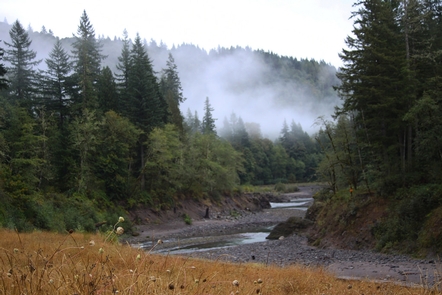
Sandy Wild and Scenic River
Bureau of Land Management, Oregon.
Overview:
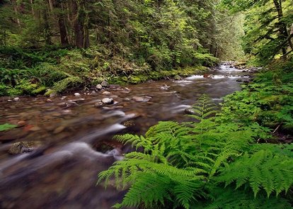
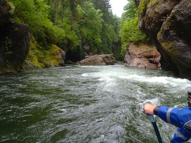
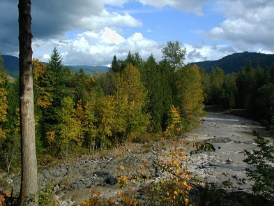
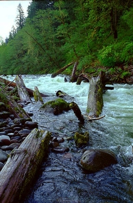
The Sandy River originates in the high glaciers of Mt. Hood, the most prominent peak in Oregon's Cascade Mountains. Riverside trails offer spectacular scenery, easily observed geologic features, unique plant communities and a variety of recreational opportunities. Just outside Portland, the lower reaches of the Sandy River flows through a deep, winding, forested gorge known for its anadromous fish runs, botanical diversity, recreational boating and beautiful parks.The U.S. Forest Service administers the initial 12.4-mile segment, and the Bureau of Land Management manages the lower 12.5-mile section between Dodge Park and Dabney Park.
Know Before You Go:
- See the Wild and Scenic Sandy River from Oxbow Park near Gresham, Oregon. On land leased from the Bureau of Land Management, the park offers a wide array of water and land-based recreation opportunities.
- The Sandy Ridge Trail System provides new trail opportunities specifically designed for mountain bikers in the foothills of the Cascade Range. Located on a ridge just west of Mount Hood and above the Sandy River, the trail system winds through a typical Western Oregon forest of Douglas-fir, western hemlock, western red cedar, and various hardwood species.
- Don't Move Firewood: Please protect Pacific Northwest forests by preventing the spread of invasive species. Firewood can carry insects and diseases that can threaten the health of our western forests. You can make a difference by obtaining and burning your firewood near your camping destination.
Point of Interest:
The lower Sandy River provides an outstanding sport fishery and exceptional recreation opportunities for nature study, day-use activities and non-motorized boating or floating. Its proximity to Portland and its near-pristine condition combine to make it a unique recreational resource within the region.Activities and Experiences
Nearby Activities
- Biking
- Camping
- Day Use Area
- Environmental Education
- Fishing
- Hiking
Directions
From US 26-Oregon 212 Junction: Head east 0.7miles on OR-212 E/SE Compton Rd toward SE 312th Ave, then continue to follow SE Compton Rd. Turn left onto Old Loop Rd/SE Orient Dr for 0.2 miles, then turn right onto SE Revenue Rd and proceed for another 1.9 miles. Continue onto SE Pleasant Home Rd for 1.1 mile and turn right onto SE Lusted Rd, proceeding for another 1.3 miles. Turn left onto SE Hosner Rd and go another 1.9 miles, then turn right onto SE Oxbow Park Rd. After 0.3 miles, you’ll arrive at Oxbow Regional Park.
Additional Information
- Oxbow Regional Park
- Leave-No-Trace Principles
- Photo Album: Sandy Wild and Scenic River
- Sandy Wild and Scenic River at rivers.gov
