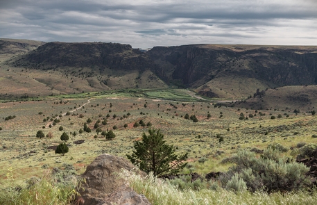
North Fork Owyhee Wild and Scenic River
Bureau of Land Management, Oregon.
Overview:
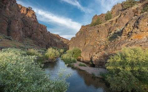
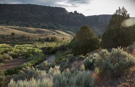
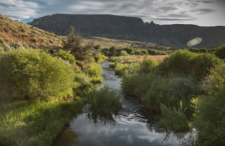
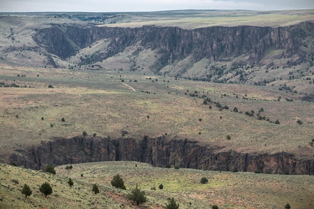
Flowing west out of southern Idaho, the rugged and lightly-roaded country of the offers scenery, beautiful geology and plenty of solitude. Clear nocturnal skies are the norm here where the lack of light pollution allows unimpaired views of the night sky.The North Fork Owyhee offers very high quality backpacking opportunities. Excellent opportunities for early season (spring runoff) expert level kayaking on the 12 mile section between North Fork Crossing and Three Forks are also available. Numerous other recreational opportunities, including hunting, camping, wildlife viewing and photography are available in the area.
Know Before You Go:
- This river is not for the inexperienced kayaker! Once you enter these deeply carved canyons, you will be a long way from help. Emergency access is extremely difficult, and cell phone coverage is nonexistent within the confines of the canyon.
- The river can be accessed by vehicle at either the primitive Three Forks Recreation Site or at the semi-developed North Fork campground in Idaho.
- When recreating on public lands, please practice Leave-No-Trace Principles.
Point of Interest:
This wild and scenic river spans state lines. There are 15.1 miles of the North Fork Owyhee classified as a Wild and Scenic River with 9.6 miles managed by the Oregon Bureau of Land Management and 5.5 miles managed by the Idaho BLM.Nearby Activities
- Fishing
- Hiking
- Hunting
- Paddling
- Photography
- Wildlife Viewing
Directions
Getting there is a challenge, but it’s worth the effort. Note: high-clearance four-wheel drive is highly recommended.
From U.S. 95 near Danner, Oregon: Approximately 16 miles west of Jordan Valley, Oregon, look for a sign marking the Soldier Creek Loop Road, Owyhee Canyon Overlook, and Three Forks. Turn south onto this dirt road and follow it for 36 miles until you reach the rim of the canyon.
Additional Information
- North Fork Campground (Idaho)
- Photo Album: North Fork Owyhee Wild and Scenic River
- Leave-No-Trace Principles
- North Fork Owyhee Wild and Scenic River at rivers.gov
- Interactive Video: 360° sunset at the North Fork Owyhee River
