South Yuba Recreation Area
Bureau of Land Management, California.
Remember your OUTDOOR ETHICS when enjoying your public lands. Please RECREATE RESPONSIBLY.
Overview
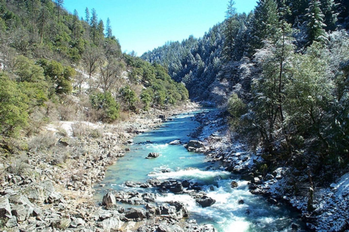
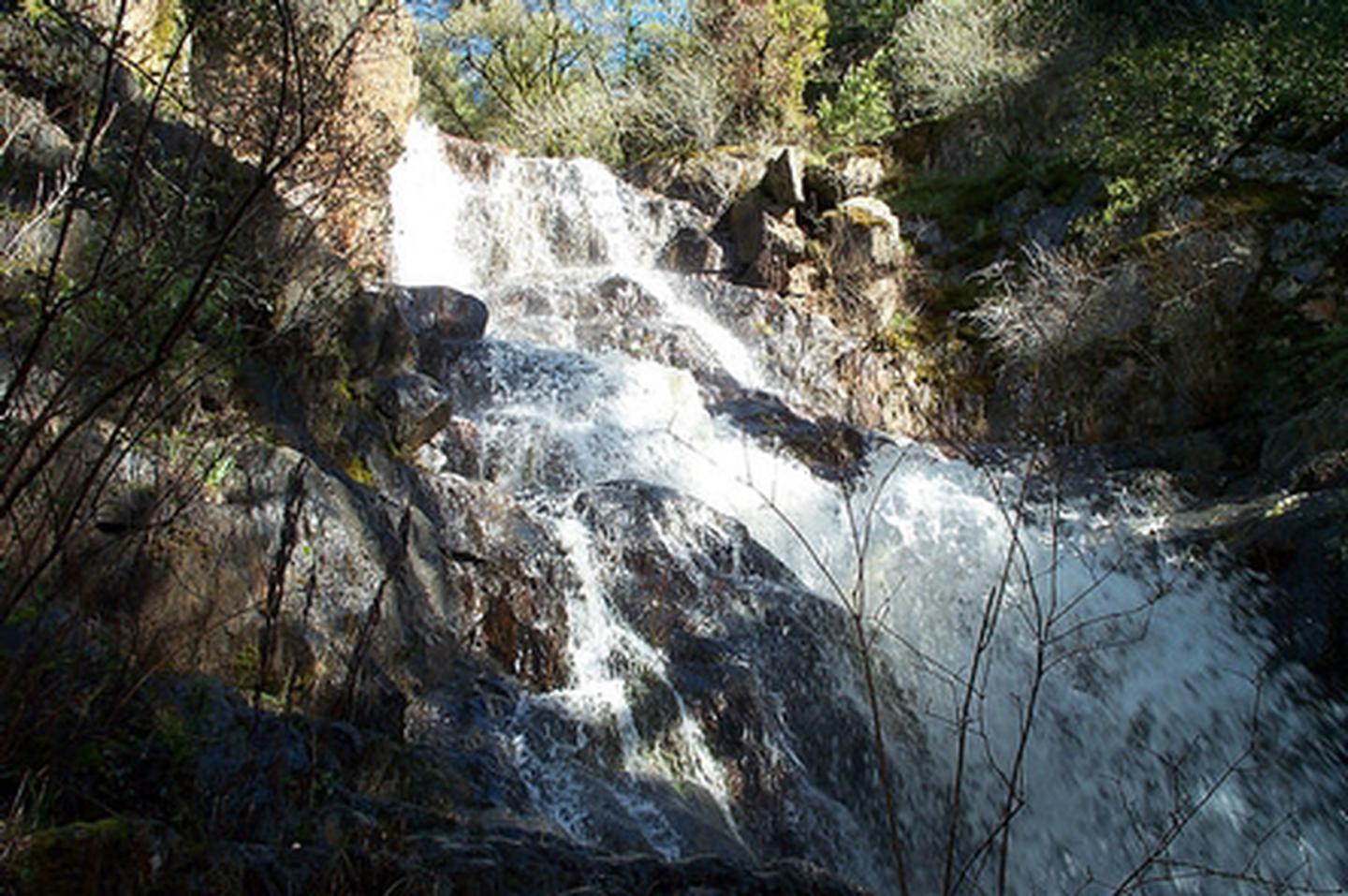
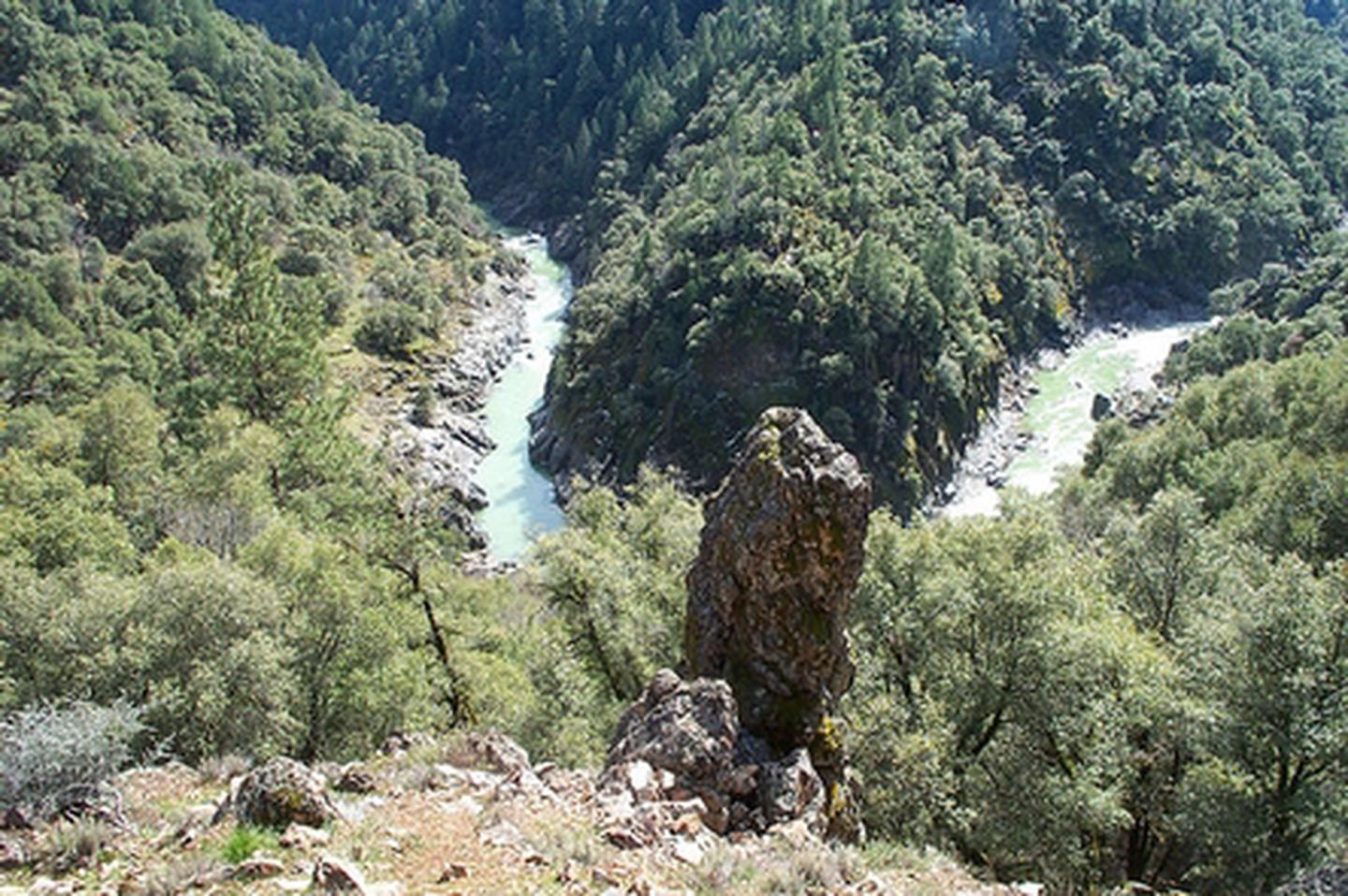
The South Yuba Recreation Area and National Trail is located approximately 10 miles northeast of Nevada City, California. The Recreation Area is administered by the Bureau of Land Management (BLM); U.S. Forest Service (USFS); and California Department of Parks and Recreation (State Parks/DPR). This 15 mile trail is open to hiking, horseback riding, trail running and mountain biking. The trail is closed to motorized vehicles. The South Yuba Trail takes hikers, mountain bikers, and horseback riders through historic foothill river canyons. Expect to see evidence of California's rich gold rush history.
Need a Map?
Facilities at South Yuba Campground:
- Includes sixteen (16) campsites for tents.
- Six (6) sites will accommodate small trailers/RV's.
- Fifteen (15) sites are ADA Accessible.
- RV maximum length is 22 feet. Trailer maximum length is 16 feet.
- All sites with tables, water, fire rings, pit toilets and trashcans.
- Bear proof lockers for food storage ONLY at each campsite.
- The South Yuba River is approximately one mile from the campground.
Campground Fees and Limitations:
- Campsites are first come first serve!
- There is no reservation system available.
- Must pay within 30 minutes of occupying site. Self-pay stations are available. More information below.
- Campsites: $15.00 per night, per site
- Recreation Pass $7.50 per night, per site
- Check-out: 12 PM
- Eight people maximum per site. Two cars maximum per site.
- Fourteen (14) day camp limit within a 90 day period.
Additional Camping Information:
- Self-pay Iron Ranger fee system. Please use the BLM provided envelopes with the pay-stub properly completed and attached to your campsite post. A campsite is rented ONLY once it has been paid in full w/pay-stub posted and the site is occupied by campers.
- Dispersed Camping is allowed along the South Yuba Trail outside of "high use" areas. You may park in the Day-Use parking area near the South Yuba Campground for a 72 hour period. Campfires are NOT allowed in dispersed camping areas year-round. Cook stoves are allowed with a valid California Campfire Permit. Bear proof lockers or trashcans are NOT available in dispersed camping areas. Please BE BEAR AWARE.
- Dogs are allowed at the South Yuba Recreation Area. Please keep your dog on a leash when in the South Yuba Campground. And for you and the dog's safety, we advise using a leash while hiking the South Yuba Trail. Please pick up after your dog. Thank you.
Return To: BLM, Mother Lode Field Office
Nearby Activities
- Accessible Swimming
- Biking
- Camping
- Day Use Area
- Fishing
- Hiking
- Historic & Cultural Site
- Horseback Riding
- Mountain Biking
- Photography
- Picnicking
- Swimming
- Swimming Site
- Water Activities
- Wilderness
- Wildlife Viewing
Directions
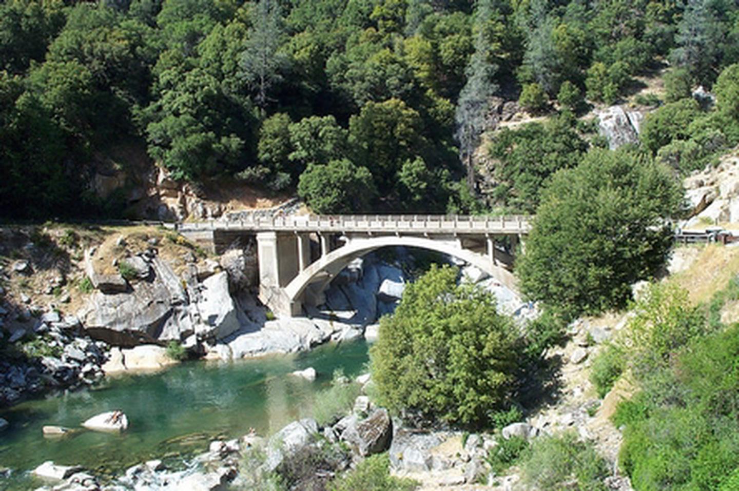
From Nevada City: Follow Highway 49 to North Bloomfield Road and travel ten (10) miles to South Yuba Recreation Lands. From the one lane bridge at Edwards Crossing it is approximately 1 1/2 miles on a dirt/gravel road to the campground.
PLEASE NOTE: the bridge at Edward Crossing has a 4 ton limit. RV's, trailers and vehicles over 4 tons not recommended.
For RV's/Trailers/Vehicles over 4 tons: Recommended Route - Follow Highway 49 to Tyler Foote Crossing. Turn right onto Grizzly Hill Road to the intersection with North Bloomfield Road and make a left turn. Proceed through a small residential area and make a right hand turn into the campground.
Additional Information
- South Yuba Flickr Album
- South Yuba Recreation Area
- BE - BEAR - AWARE (USFS website)
- South Yuba River Recreation Area Map
- South Yuba Flickr Album
- KEEP ME WILD : Mountain Lion (CDFW website)
- South Yuba Campground Site Map