Tuolumne River Permits
Welcome to one of the most celebrated whitewater experiences in the world. With careful preparation and knowledge, you’ll have a wonderful river adventure and memories to last a lifetime!
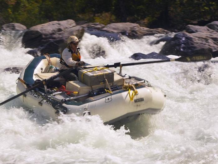
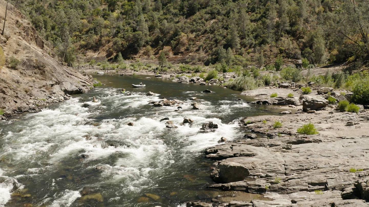
The Tuolumne Wild and Scenic River is renowned worldwide for its remote class IV to V+ whitewater and scenery. Designated a Wild and Scenic River in 1984, it originates in the remains of the Lyell Glacier and travels 83 miles through incredible waterfalls and glaciated canyons in Yosemite National Park into and through 27 miles of crystal clear whitewater on the Stanislaus National Forest, ending at the Don Pedro Reservoir on Bureau of Land Management land. To learn more about the Tuolumne Wild and Scenic River, visit: https://www.tuolumne.org/yourriver
Recommended for highly experienced boat operators, the Cherry Creek Run is a nine-mile, one day class V+ run. With a gradient of 110 feet per mile and a "Miracle Mile" dropping at over 200 feet per mile, Cherry Creek is possibly the most challenging whitewater rafting run in the nation.
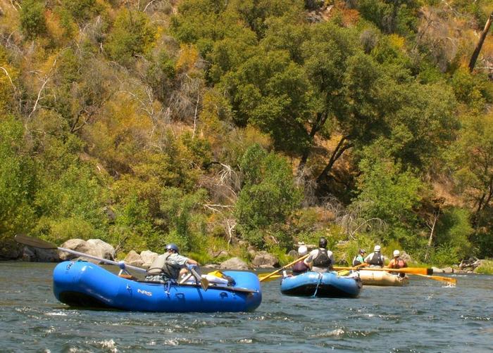
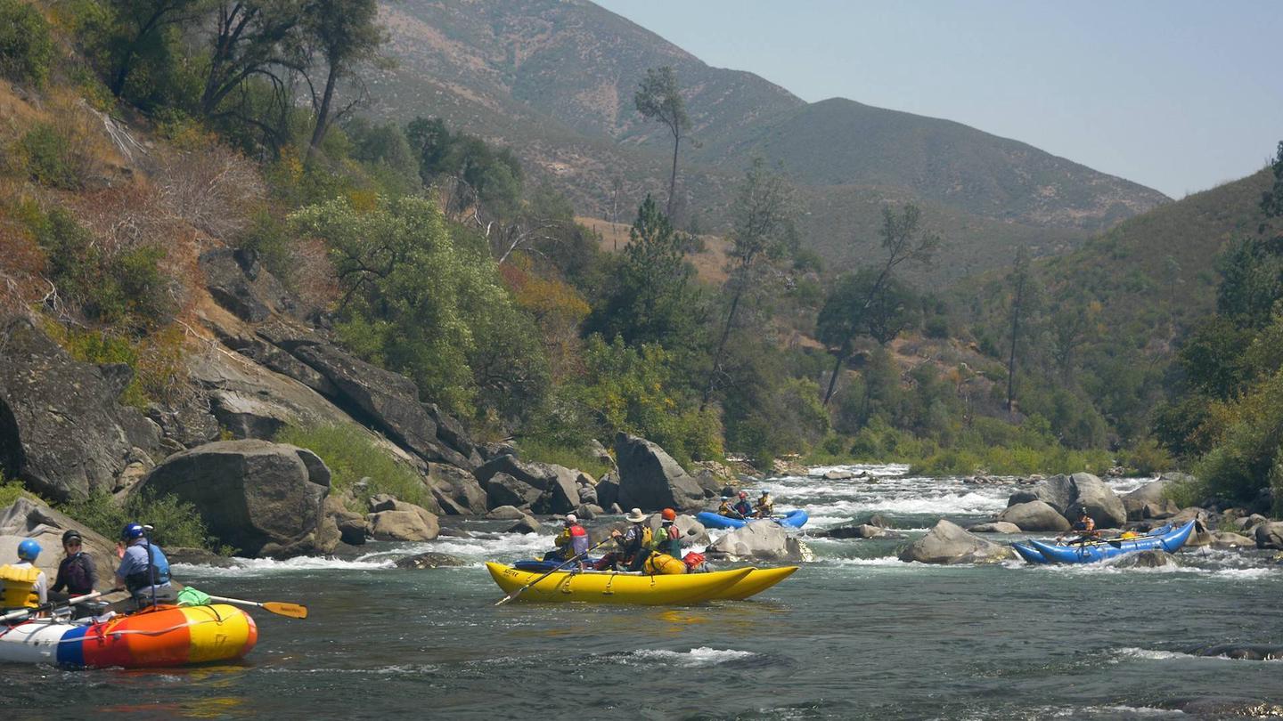
The more popular section, the Main Tuolumne is a Class IV+ run (Class 5 above 5,000 cubic feet per second flows). It’s 18 miles long and can be run in one to three days. It is recommended that river runners read and watch widely about navigating the Tuolumne and plan enough time for scouting and difficulties while on the river.
Please note: Permits are required. Primary additional carry-in access from the South Fork of the Tuolumne River, Lumsden Bridge Campground and from the Clavey River (Class 5+).
Road Conditions/Closures can occur without notice; for current conditions call 209-962-7825.
Main Tuolumne Launch: Merals Pool Ramp
- GPS: -37.83669, -120.5317 on Forest Service (FS) Road 1N10 (Lumsden Rd), 5 miles east of Ferretti Rd
- Caution: FS Road 1N10 is a steep single dirt/gravel lane with occasional turn outs.
Main Tuolumne Take Out: Wards Ferry Bridge
- GPS: -37.87684, -120.29537 on Wards Ferry Rd, drive 7.5 miles north from CA State Highway 120
- Caution: Wards Ferry Rd. becomes as steep one lane road with few turnouts
Cherry Creek Launch – Warning - This section is Class V+ to 6 (depending on flow) with one recommended portage. Flows can fluctuate rapidly, every day: Holms Powerhouse Ramp
- GPS: -37.88902, -119.96760 on FS Road 1S23Y, adjacent to Andresen Trailhead and Holms Powerhouse. From Groveland, drive east to Cherry Lake Rd (FS Road 1N07), turn left and follow the signs to Early Intake. Drive across the Tuolumne (you can put in here if you want) and drive about a mile and turn left on FS Road 1S23Y.
- Caution: FS Road 1S23Y is narrow and dead ends. Only one turnaround at the Launch! Do Not Block! Keep Out of the Powerhouse facility.
Cherry Creek Take Out: Merals Pool Ramp
- GPS: -37.83669, -120.5317 on FS Road 1N10 (Lumsden Rd), 5 miles east of Ferretti Rd
- Caution: FS Road 1N10 is a steep single dirt/gravel lane with occasional turn outs.
Notifications and Alerts
Due to road damage/closures, rafting permits will not be required to float the Tuolumne River in 2025. Lumsden Rd FS Road 1N10 is closed.
Due to road damage/closures, rafting permits will not be required to float the Tuolumne River. Lumsden Rd FS Road 1N10 is closed until further notice.
For additional information please contact the Groveland Ranger District office at (209) 962-7825.
Permit & Season Information
A permit is required and authorizes:
- A single day trip on the Cherry Creek section of the Tuolumne Wild and Scenic River; or,
- A single or multi-day (up-to-a 3 day) trip on the Main Tuolumne section of the Tuolumne Wild and Scenic River.
- Trips may be combined to float both sections for a four day trip. One permit per section required!
Permit holder are required to:
- Carry a copy of the permit (front & back); or,
- Present an electronic copy to agency staff, including front and back of the permit.
Cell service is limited; power backup may be necessary to demonstrate proof of permit when stored on a device.
Permits are available for reservation through 12 a.m. (midnight) the day prior to the trip.
Additional permit holder details:
- Trips are limited to 26 people
- No more than four (4) reservations may be held by a person at a time.
- Permits are required anywhere below Holm and Kirkwood Powerhouses to the high water mark of Don Pedro reservoir between May 1st and October 15th each year.
Need to Know
You are responsible for knowing and abiding by all Forest Service rules and regulations.
NOTICE: Water Flows Are Minimized On Every Other Wednesday (150cfs - 400cfs). For Wednesday flow schedules Call 209-962-7825.
A permit is required and authorizes:
- A single day trip on the Cherry Creek section of the Tuolumne Wild and Scenic River,or,
- A single or multi-day (up-to-a 3 day) trip on the Main Tuolumne section of the Tuolumne Wild and Scenic River. Trips may be combined to float both sections for a four day trip.
Permits are available online, only, at Recreation.gov – Visitors will be required to:
- Carry a copy of the permit (front & back); or
- 'Have available an electronic copy showing the front and back of the permit (permit holder is required to be in possession of the permit and made available to agency personnel, when requested. (Cellular service is inadequate along the river, power backup may be necessary to demonstrate proof of permit when stored on a device).
Permits are allocated on a first--come, first-serve basis; from January 1st through 12 a.m. (midnight) on the day prior to the desired launch.
A permit holder may hold no more than 4 launch date reservations at any one time.
A no-show may result in cancellation of all future reservations for that river season.
Permits are required to float the Tuolumne River anywhere below Holm and Kirkwood Powerhouses to the high water mark of Don Pedro reservoir between May 1st and October 15th each year.
Permits & Regulations
- Flow information may be obtained from the Groveland Ranger District or by checking the website: www.dreamflows.com
- Serviceable Coast Guard approved Type I, II, III or V Personal Flotation Device (PFD) are required at all times, and each boat must an carry extra PFD. For groups of two or more boats, two extra PFDs per group are required. Helmets are required for all kayakers and all floaters on the upper Tuolumne (Cherry Creek).
- Each boat must have an extra oar or paddle as applicable and throw line. Also required are 20 feet of mooring line and a coil of at least 100 feet of extra line for emergencies (wrapped boats, etc.).
- A first-aid kit, adequate for the size of the group and an adequate repair kit must be carried on each boat.
- One air pump must be carried on each inflatable boat.
- Leave No Trace; Carry out all unburnable materials (cans, bottles, leftover food, eggshells, melon rinds and cigarette butts). Liquid garbage must be strained into sump holes, through a fine mesh screen capable of holding small food particles and the particles then placed in garbage bags to be carried out of the canyon. Sump holes are to be dug away from camp and above the high-water line.
- Portable toilets or personal disposable travel toilet bags are required to be carried on all trips (including kayaks). All portable toilet waste must be carried out and deposited in an authorized disposal facility. For your convenience, disposable travel toilet bags are available for purchase in our office.
- Wood and charcoal fires are allowed in fire pans only. No fires are allowed in rock rings or on the ground. Keep a pail of water near the fire and be sure the fire is completely extinguished before leaving the site. All ash and charcoal must be carried out of the canyon. When fire restrictions are in effect, y ou may use only a portable stove with gas, jellied petroleum, or pressurized liquid fuel.
- Surface water should be boiled or treated prior to drinking. You may prefer to include drinking water with your supplies.
- Other suggested items include wet suits during periods of cold weather and low water temperatures, matches in a waterproof container, line knife, U.S.G.S. maps, snakebite kit, and gear for removing wrapped boats. Evaluate your ability and equipment before attempting this river. Scout rapids before proceeding as conditions can change.
Fee Policy
Reservation Fee: There is a $6.00 non-refundable fee per reservation.
Recreation Fee: There is a $2.00 fee per person in your group. These fees are invested locally in maintenance of boat put-ins, trails along the river corridor, and camping sites.
Cancellation Policy
Cancellation Policy: Reservation fees are non-refundable. Recreation fees are refundable, when cancellation takes place 7 days or more before the launch date.
Change Policy: Changes to the permit may be made 7 days or more before the launch date. Changes include adding or reducing the number of people,subject to space availability. To change the start date, you must cancel and book a new permit; all fees apply.
Contact Information
Mailing Address
24545 Highway 120 Groveland CA 95321
Phone Number
(209) 962-7825


