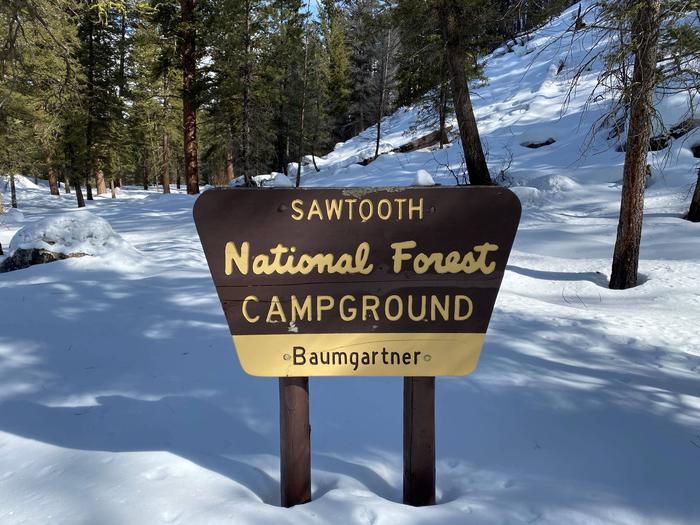
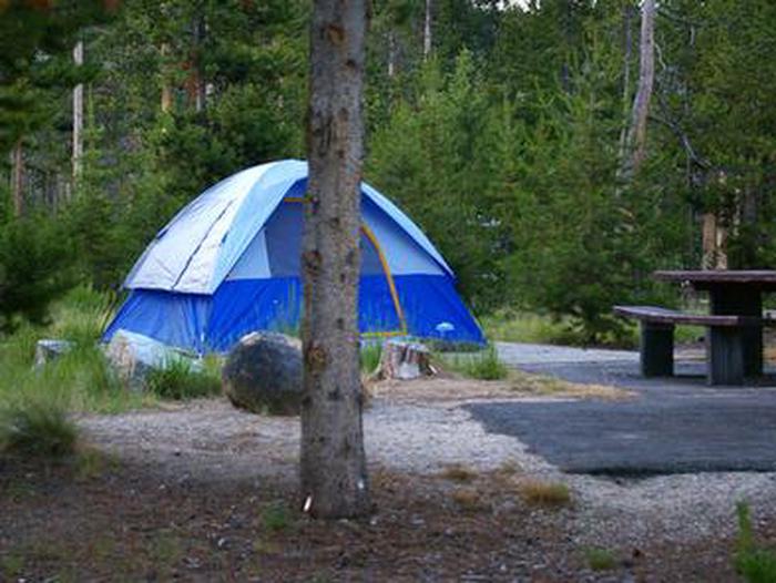
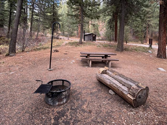
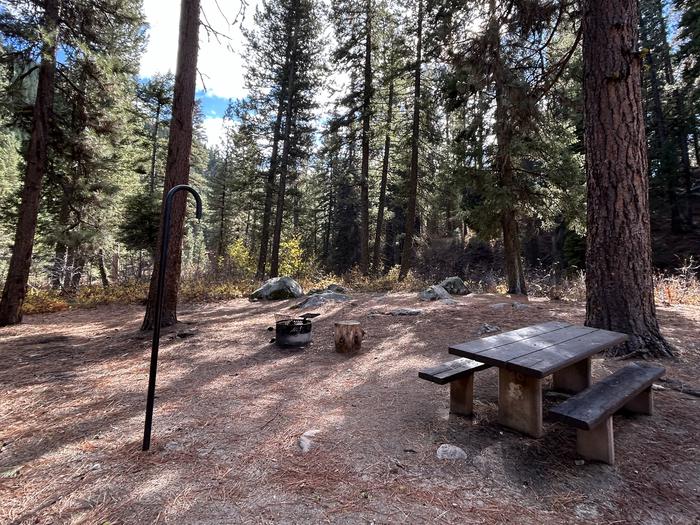
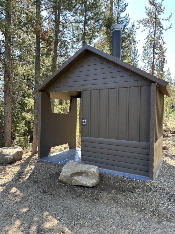
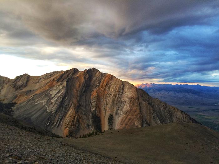
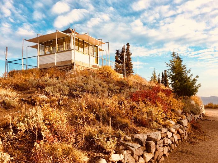
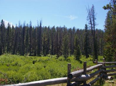
Search Results near Sawtooth National Forest, Twin Falls, Idaho
- Recreation Area
- Recreation Area
Milner Historic Recreation Area
Over 100 years ago, emigrants on the Oregon Trail passed through what is now the Milner Historic Recreation Area, creating ruts as they traveled through the soft soil of the...
- Recreation Area
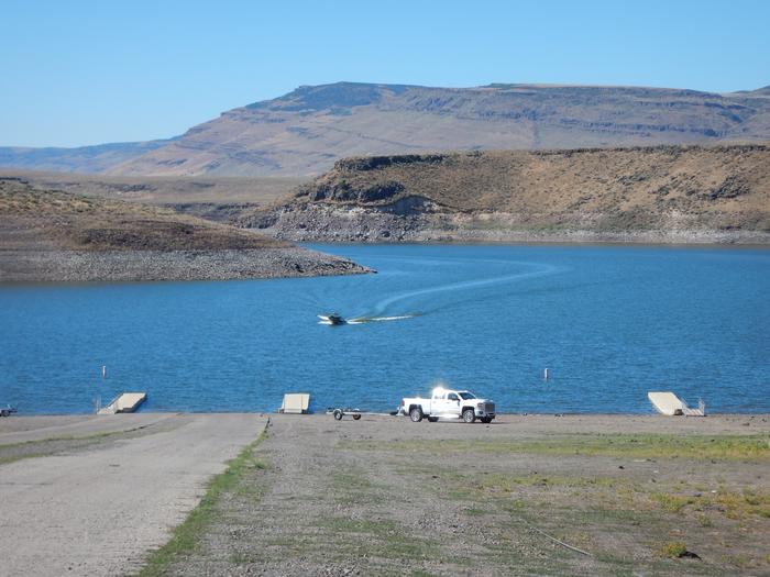
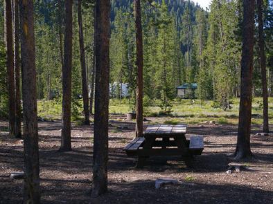
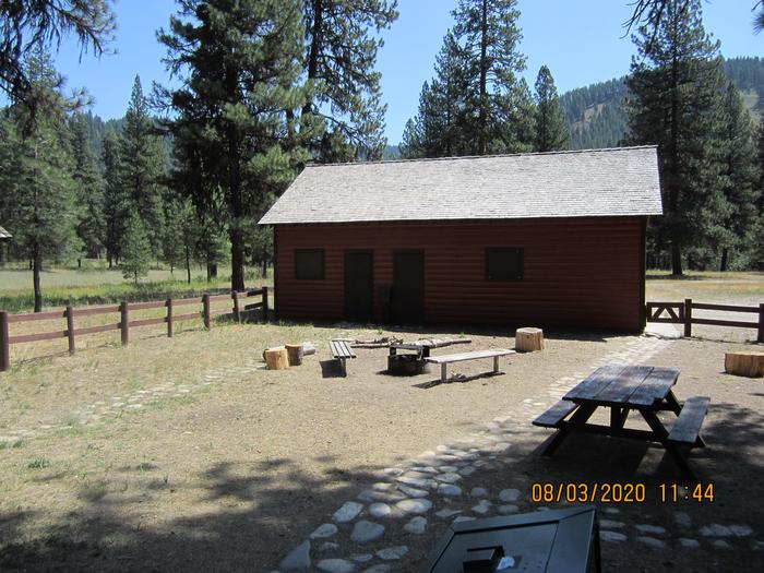
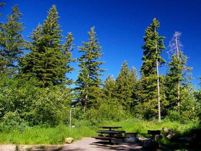
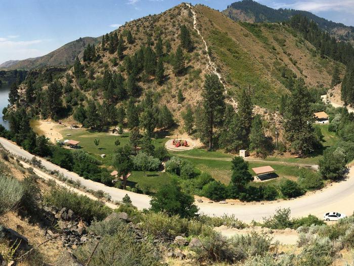
Lud Drexler Park
Remember your OUTDOOR ETHICS when enjoying your public lands. Please RECREATE RESPONSIBLY. Overview Lud Drexler Park is located on the north end of Salmon Falls...
- Recreation Area
- Recreation Area
- Recreation Area
Joe T. Fallini Recreation Site
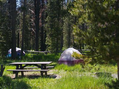
The Joseph T. Fallini Campground is the only recreational site in Challis that offers full RV hookups and features a diversity of other facilities. This scenic area has a...
- Recreation Area
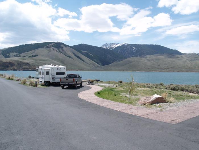
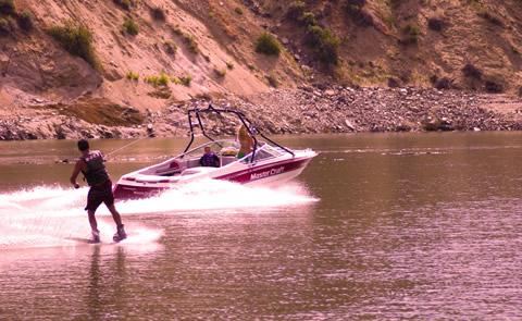
Lucky Peak Lake
Lucky Peak Lake is located in the foothills of southwestern Idaho on the Boise River, 10 miles southeast of the city of Boise. Recreation opportunities include swimming,...
- Recreation Area
- Recreation Area
- Recreation Area
- Site Pass
- Recreation Area
Knolls Off-Highway Vehicle Special Recreation Management Area (SRMA)
Knolls Special Recreation Management Area is nearly 36,000 acres of sand dunes, hills, and mud flats located in the Great Salt Lake Desert make a perfect OHV play area.
- Recreation Area
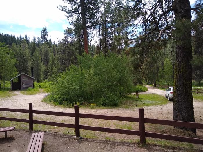
Blackfoot River
Along the Blackfoot River, there are 5 campgrounds managed by the BLM. From north to south: Trail Creek Bridge, Morgan's Bridge, Graves Creek, Cutthroat Trout and Sagehen...
- Recreation Area
- Site Pass
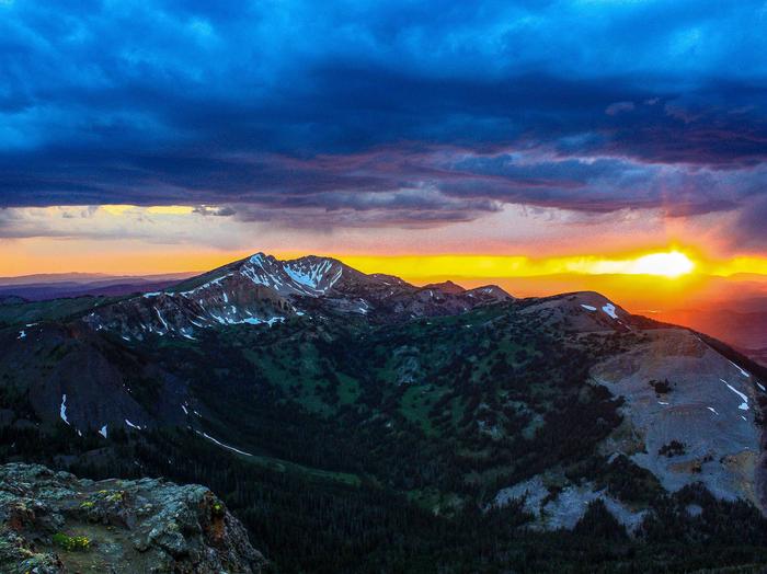
Grand Teton National Park
Soaring over a landscape rich with wildlife, pristine lakes, and majestic alpine vistas, the Teton Range stands as a testament to generations of stewards. For over 11,000...
- Recreation Area
- Recreation Area
- Site Pass
- Recreation Area
- Recreation Area
- Recreation Area
- Recreation Area
St. Anthony Sand Dunes
Remember your OUTDOOR ETHICS when enjoying your public lands. Please RECREATE RESPONSIBLY. Overview The St. Anthony Sand Dunes consists of 10,600 acres of clear,...
- Recreation Area
South Fork of The Snake
The South Fork of the Snake River flows for 66 miles across southeastern Idaho, through high mountain valleys, rugged canyons, and broad flood plains to its confluence with...