Search Results near Tenkiller Ferry Lake, Vian, Oklahoma
- Recreation Area
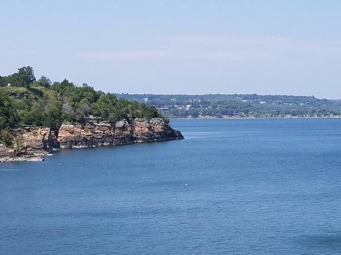
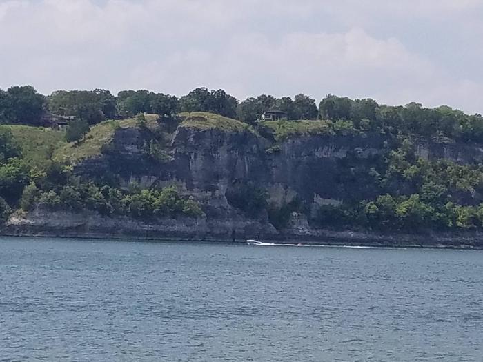
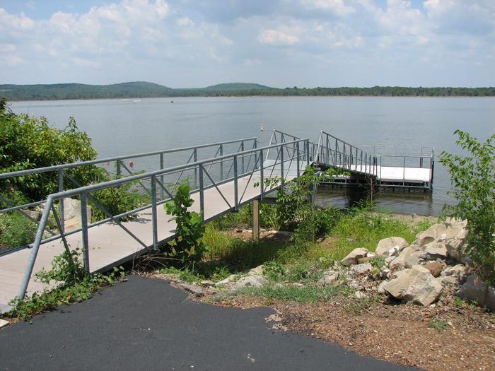
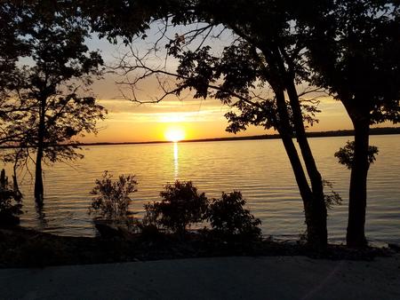
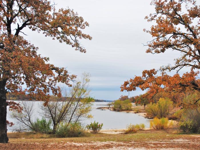
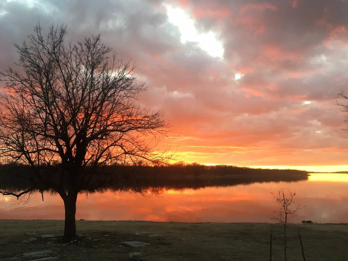
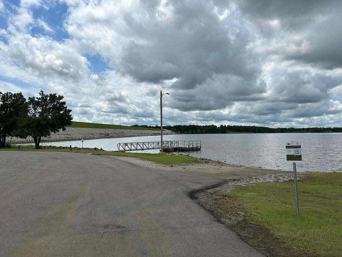
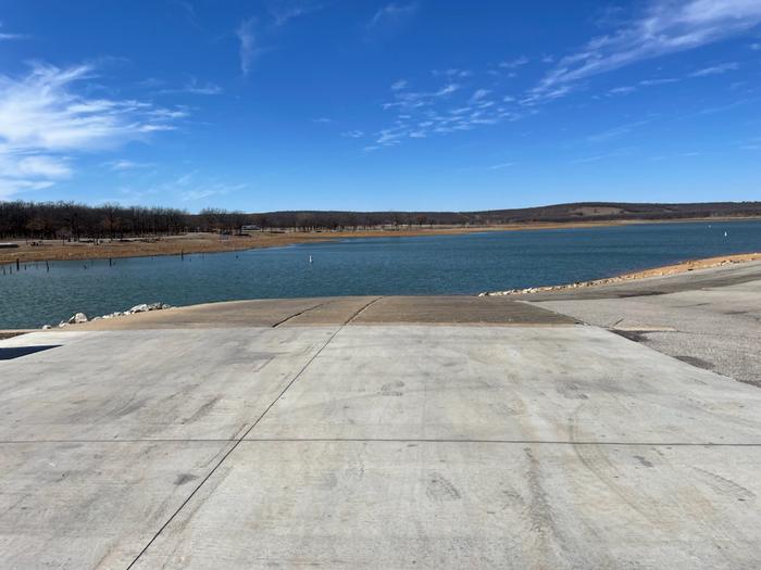
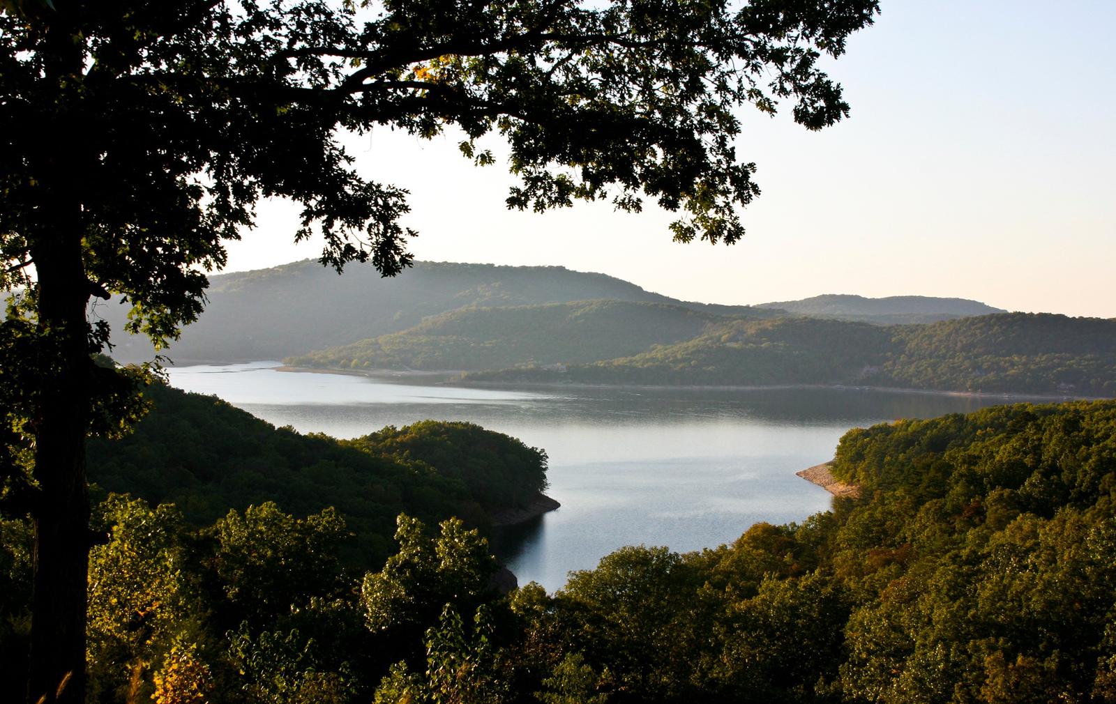
Tenkiller Ferry Lake
Recreation opportunities abound in the Lake Tenkiller area. Nestled in the Cookson Hills of eastern Oklahoma, this body of water is known as "Oklahoma's Clear Water...
- Recreation Area
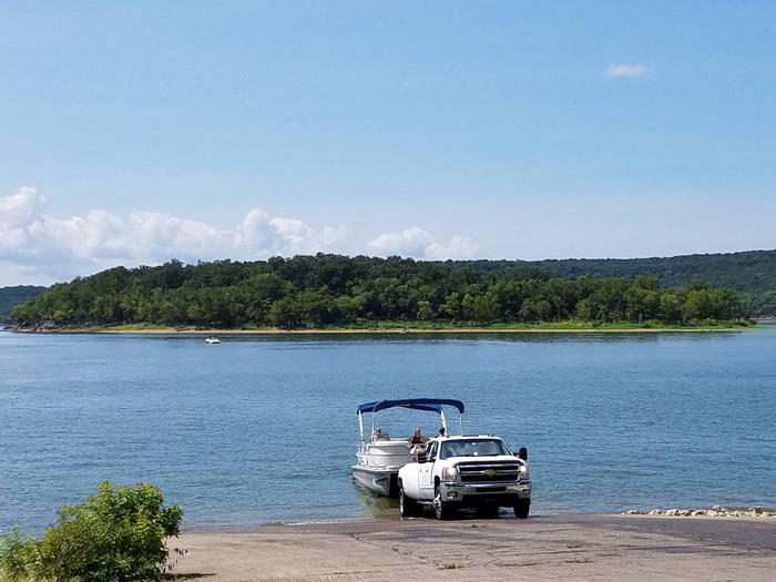
Arkansas River - Robert S. Kerr Pool
Robert S. Kerr Lock and Dam is located along the Arkansas River Navigation System. The lake area is beautiful any time of the year. It is especially scenic when flowering...
- Recreation Area
Arkansas River - Chouteau Lock and Dam
Named for Col. Auguste P. Chouteau, whose father built a shipyard on the river bank to build keelboats for the fur trade.
- Recreation Area
Eufaula Lake
Eufaula Lake is the largest lake located entirely in the State of Oklahoma. It is located on the Canadian River, 27 miles upstream from its confluence with the Arkansas...
- Recreation Area
Fort Gibson Lake
Fort Gibson Lake is located on the Grand (Neosho) River about 5 miles northwest of historic Fort Gibson, Oklahoma, from which it draws its name. It is about 7.7 miles above...
- Recreation Area
Arkansas River - Newt Graham Pool
The Port of Catoosa, terminal point of the McClellan-Kerr Arkansas River Navigation System, is nearby.
- Recreation Area
John Paul Hammerschmidt Lake
John Paul Hammerschmidt Lake extends 26 miles along the Arkansas River, about half in Arkansas and half in Oklahoma. The shoreline offers a variety of terrain that includes...
- Recreation Area
- Recreation Area
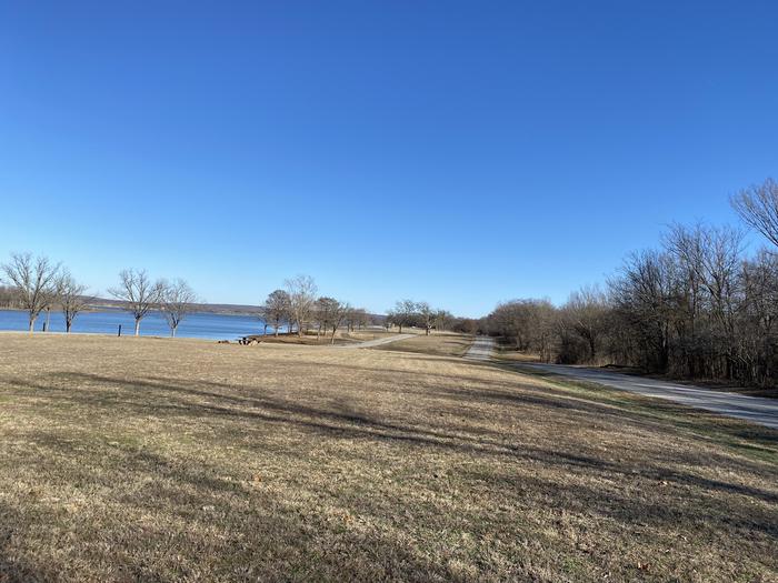
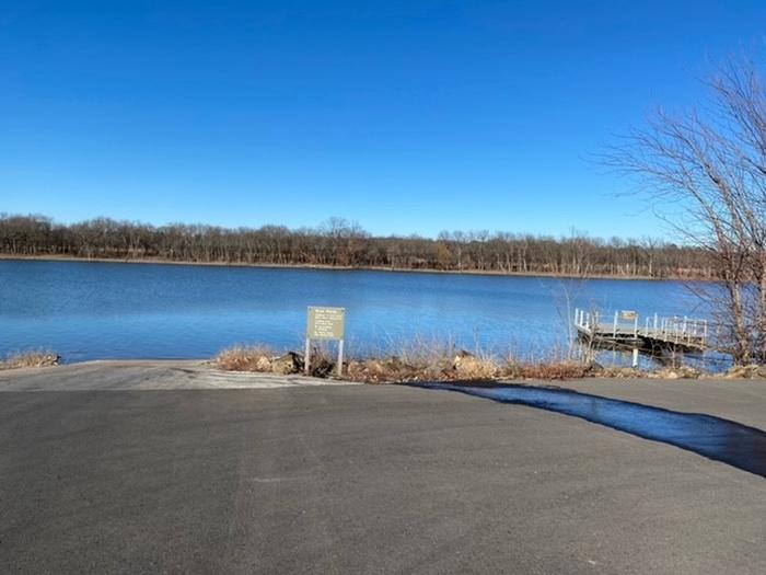
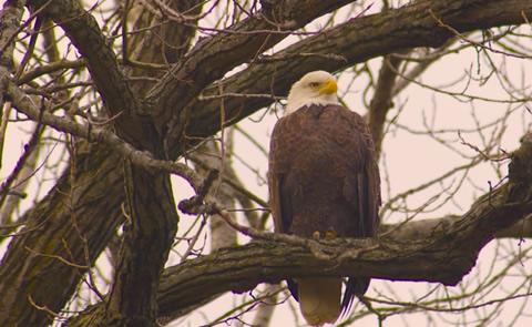
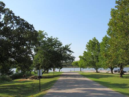
Oologah Lake
Oologah Lake provides a great getaway for fishing, boating, picnicking, camping or just driftin' and dreaming over the sky blue waters. Plenty of wide stretches of water,...
- Recreation Area
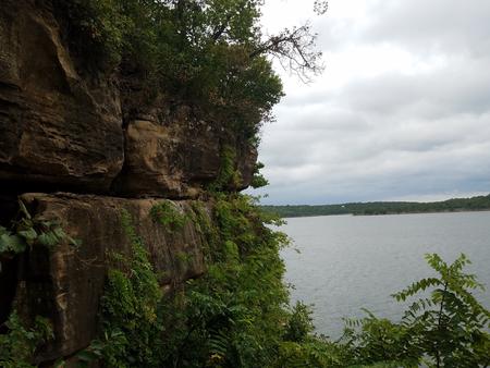
Ozark Lake
Ozark Lake extends 36 miles along the Arkansas River. The shoreline of the lake varies from steep bluffs and tree-lined banks to open farm lands and level fields. Many outdoor...
- Recreation Area
Sardis Lake
Sardis Lake is located five miles north of Clayton, Oklahoma, along Oklahoma Highway 2 in beautiful southeastern Oklahoma. The lake covers 14,360 acres, with 117 miles of...
- Recreation Area
Heyburn Lake
Located near Kellyville in the Sandstone Hills of the Osage Section central lowlands with good hunting and fishing.
- Recreation Area
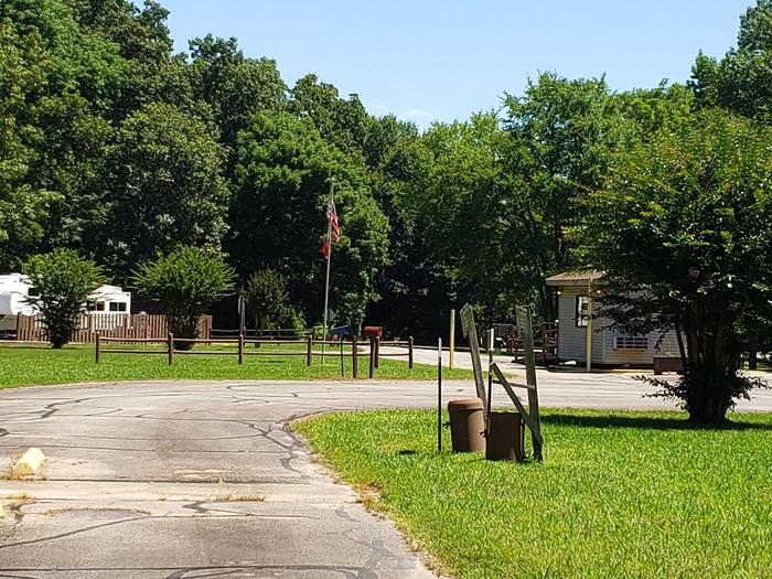
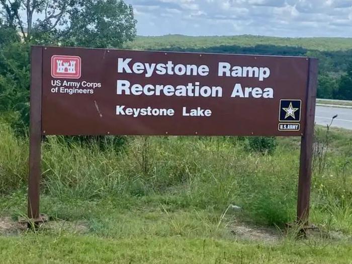
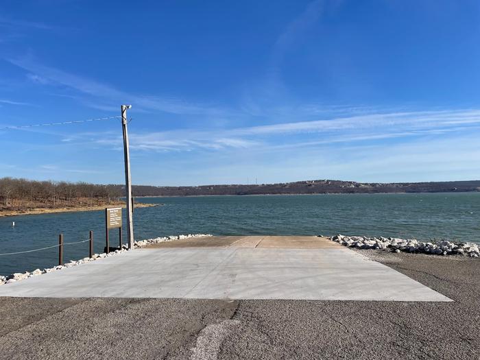
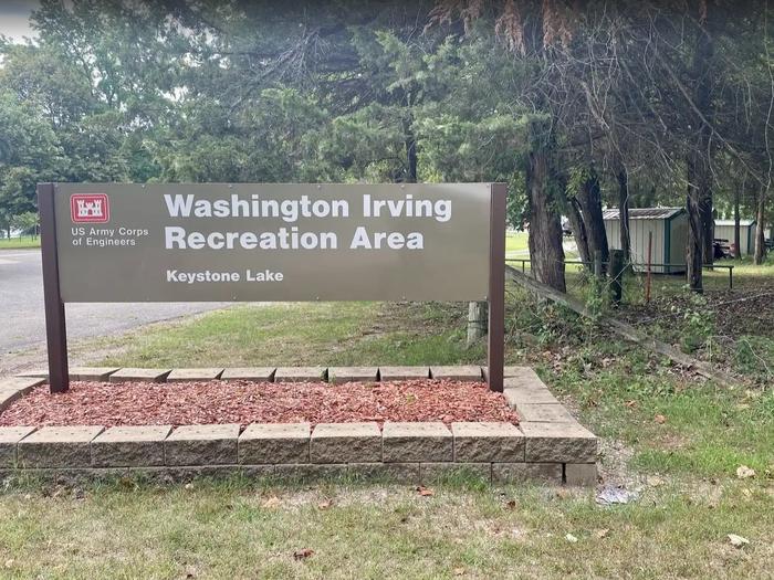
Keystone Lake
Keystone Lake's blue-green water and the natural beauty of its setting -- wooded shoreline, sandy beaches, high bluffs, grasslands, and low rolling hills -- make it a visual...
- Recreation Area
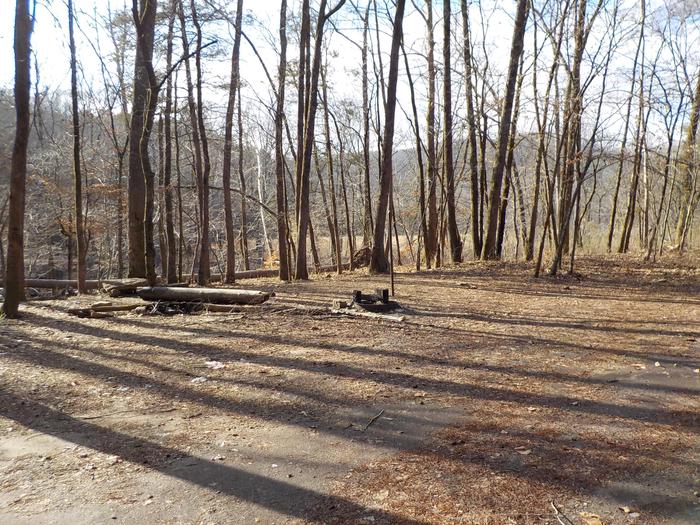
Skiatook Lake
Gentle rolling hills of Blackjack and Post Oak interspersed with Tall Grass Prairie surround beautiful Skiatook Lake. The meandering shoreline is accentuated be steep...
- Recreation Area
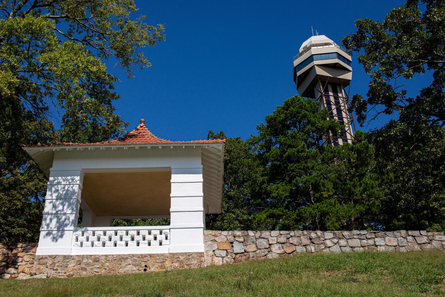
Hot Springs National Park
Hot Springs National Park has a rich cultural past. The grand architecture of our historic bathhouses is equally matched by the natural curiosities that have been drawing...
- Recreation Area
- Recreation Area
Blue Mountain Lake
Located in the shadow of Mt. Magazine, Arkansas? highest mountain, Blue Mountain Lake offers many recreational opportunities. Modern campgrounds provide many amenities for...
- Recreation Area
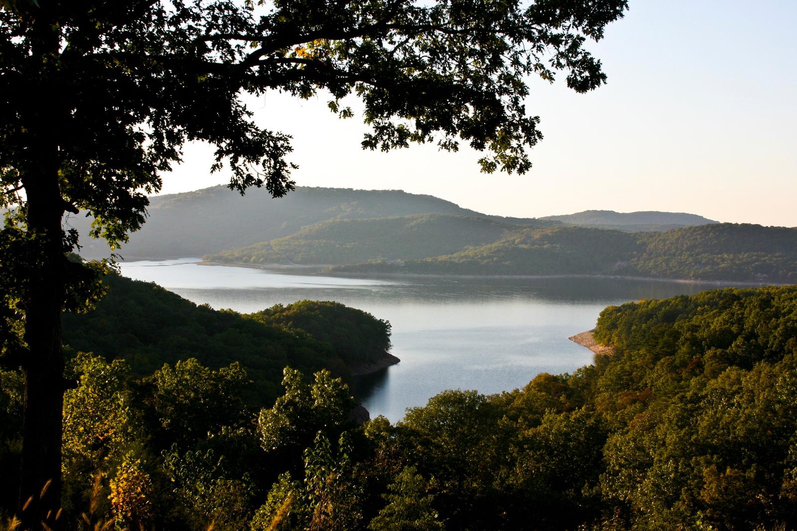
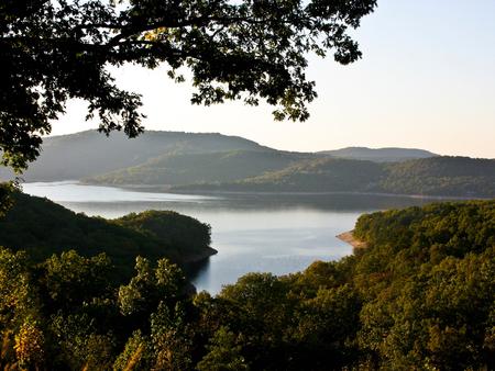
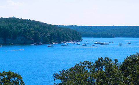
Beaver Lake
Nestled in the Ozark Mountains of northwest Arkansas, Beaver Lake is a nature lover's delight during all seasons. Towering limestone bluffs, natural caves and a variety of...
- Recreation Area
Birch Lake
This lake impounds about 1,137 acres of water on Birch Creek, a tributary of Bird Creek in Osage County.
- Recreation Area
Copan Lake
About 4,850 acres of water is impounded behind this dam on the Little Caney River. The Corps also holds fee to approx. 12,000 acres of land around the lake that is available...