Search Results near North Fork of Pound River Lake, Pound, Virginia
- Recreation Area
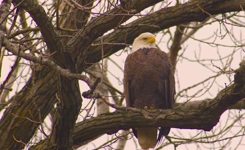
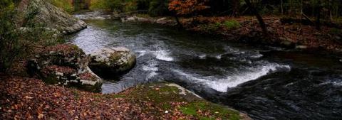
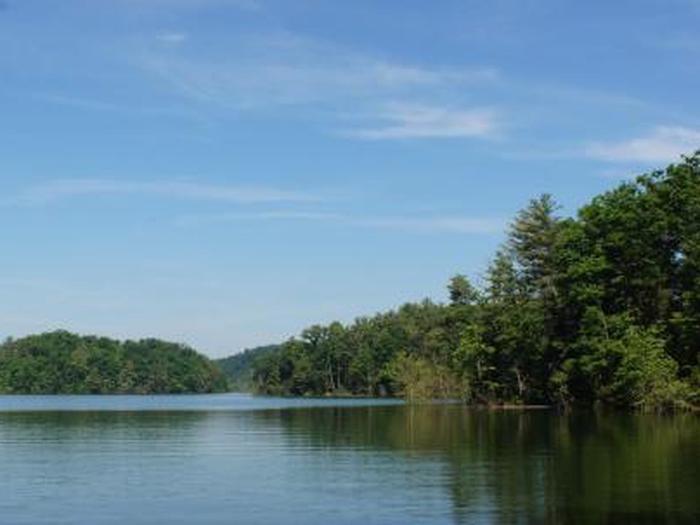
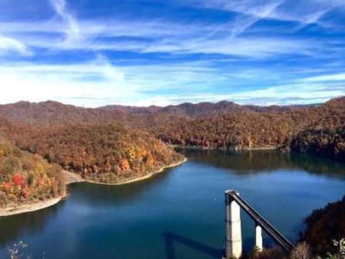
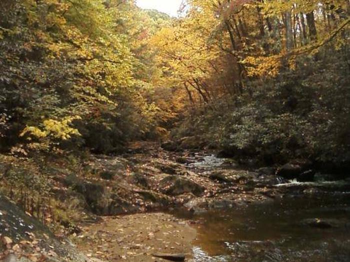
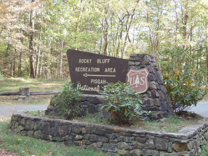
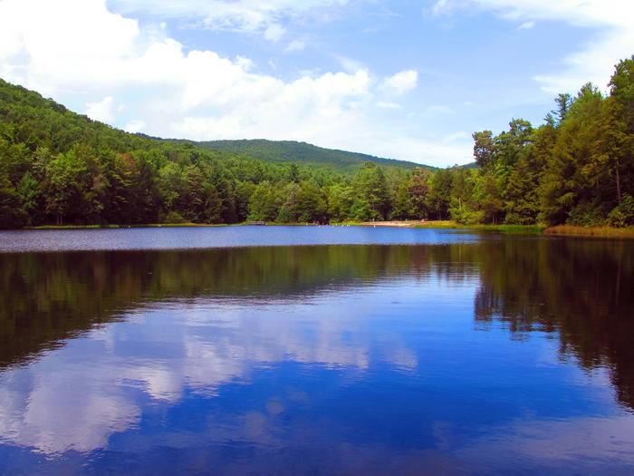
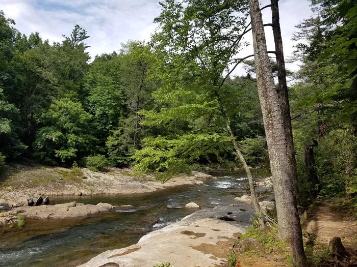
North Fork of Pound River Lake
A hikers' paradise, lying adjacent to the wooded hills of Jefferson National Forest. From Pound, 1 mi SW on VA 630.
- Day Use
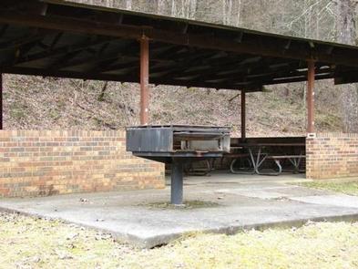
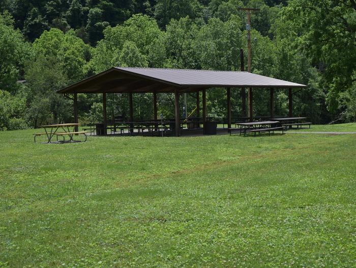
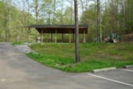
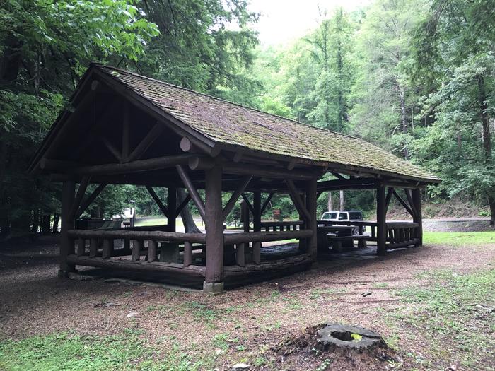
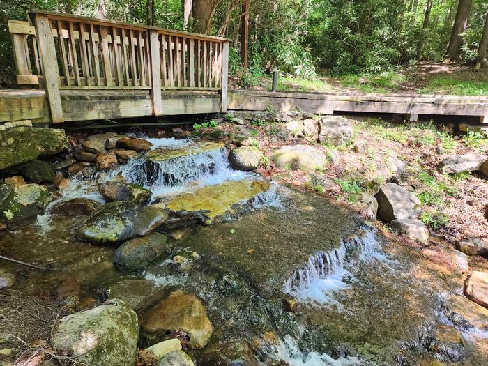
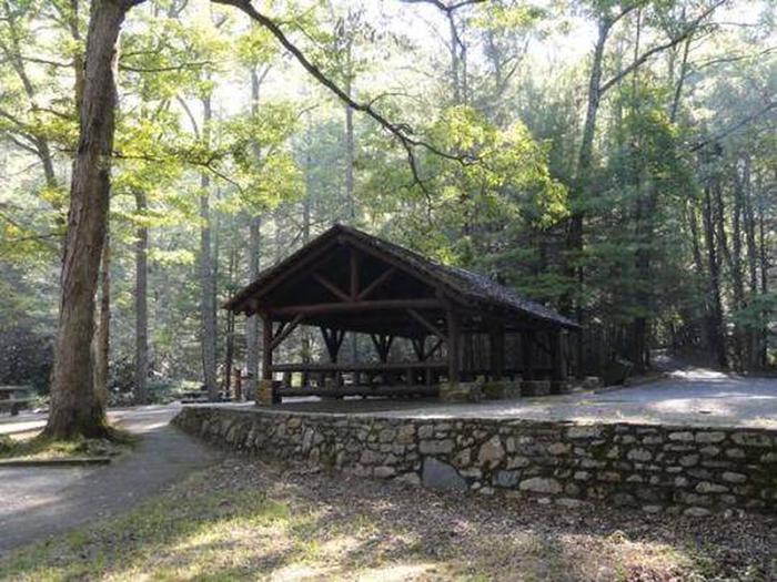
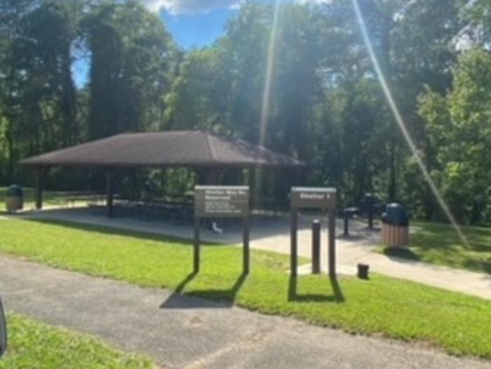
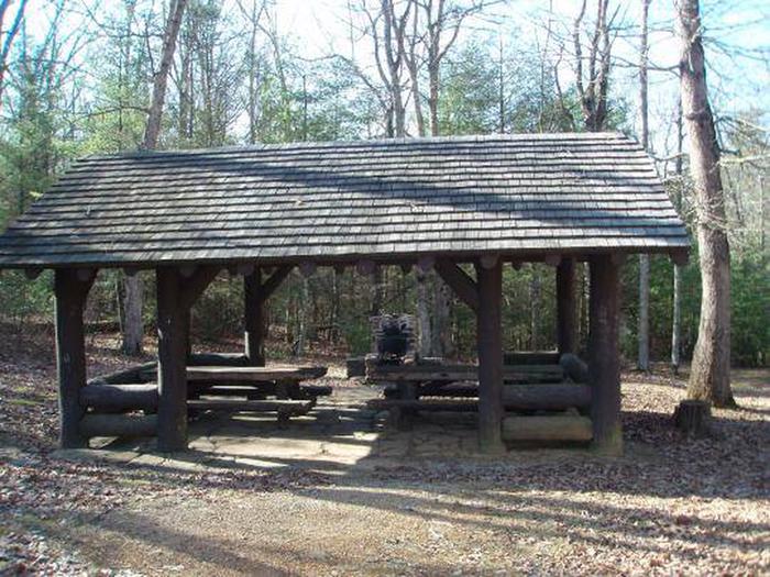
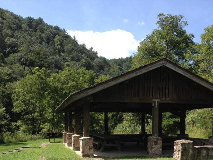
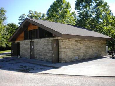
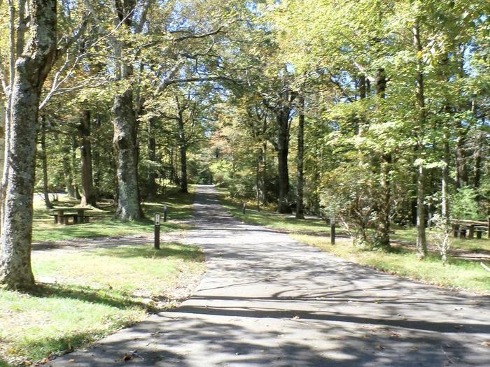
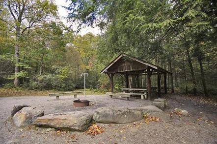
PHILLIP'S CREEK GROUP PICNIC AREA
Phillips's Creek Group Picnic area is a secluded site surrounded by forest. It is a great facility for family reunions, organization activities and other group events.Parking...
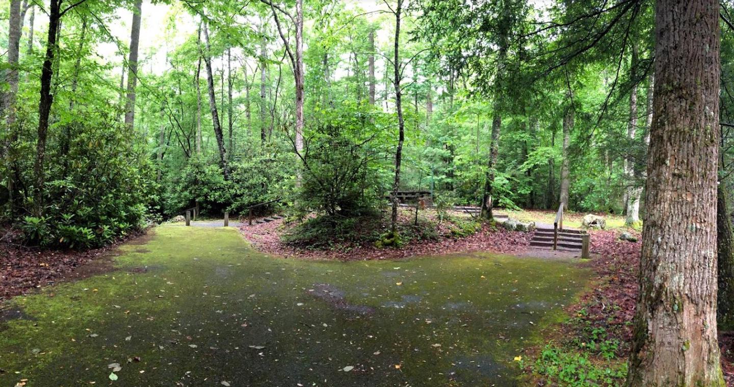
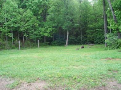
- Camping
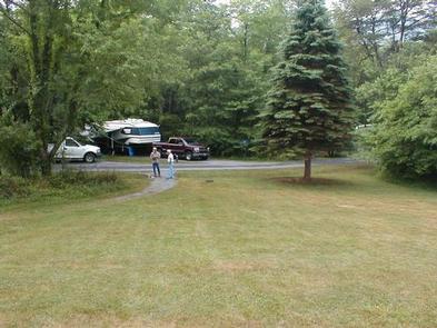
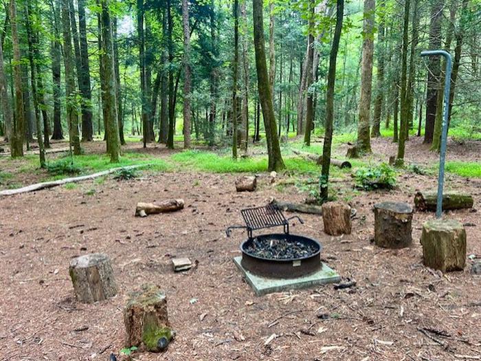
Cane Patch
This location is available on a first-come, first-served basis only. Visitors are required to physically arrive at the campground to purchase and claim a site. Once on-site,...
- Camping
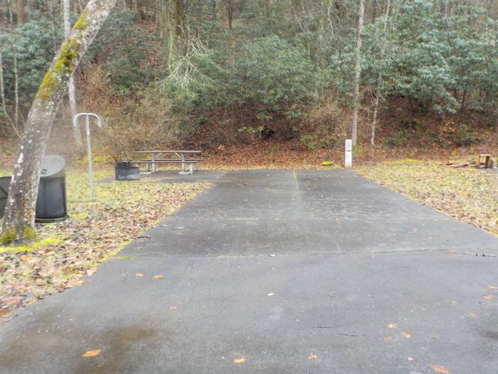
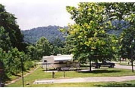
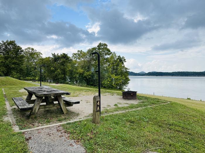
POUND RIVER CAMPGROUND (VA)
The John W. Flannagan Dam & Reservoir Area boasts an expansive lake nestled in the rolling green Cumberland Mountains of southwest Virginia, offering visitors an oasis of...
- Camping
CRANESNEST CAMPGROUND (VA)
The John W. Flannagan Dam & Reservoir Area boasts an expansive lake nestled in the rolling green Cumberland Mountains of southwest Virginia, offering visitors an oasis of...
- Camping
LOWER TWIN CAMPGROUND (VA)
The John W. Flannagan Dam & Reservoir Area boasts an expansive lake nestled in the rolling green Cumberland Mountains of southwest Virginia, offering visitors an oasis of...
- Camping
High Knob Campground
This location is available on a first-come, first-served basis only. Visitors are required to physically arrive at the campground to purchase and claim a site. Once on-site,...
- Day Use
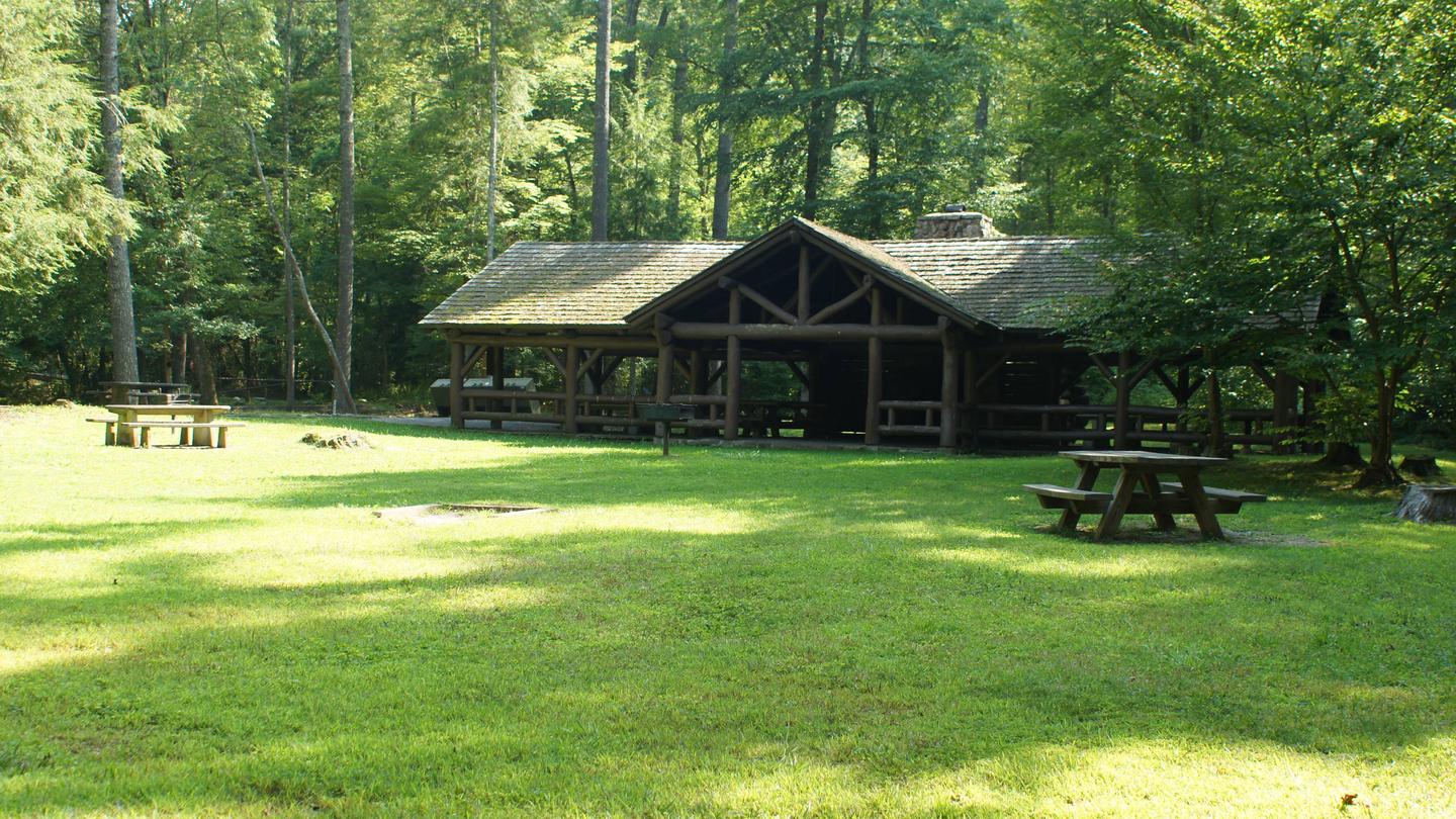
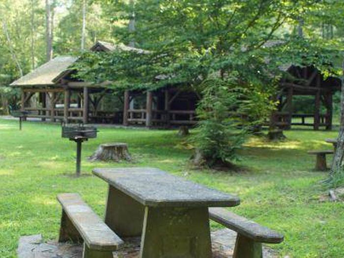
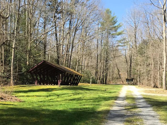
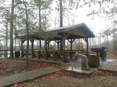
FLATWOODS GROUP PICNIC AREA
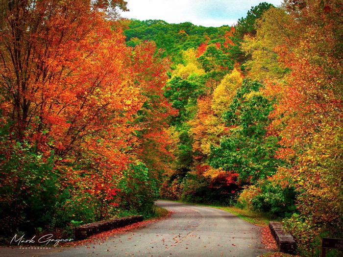
Flatwoods Group Picnic area is a secluded site surrounded by forest. It is a great facility for family reunions, organization activities and other group events.The Guest River...
- Recreation Area
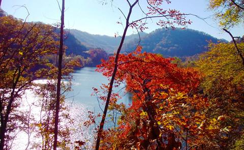
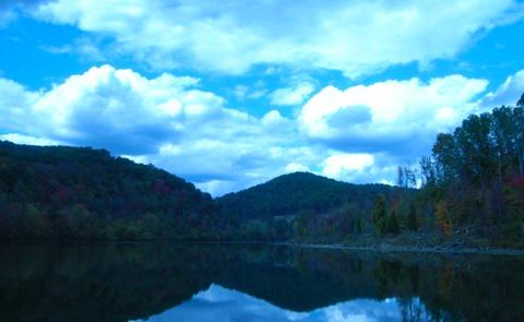
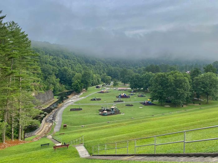
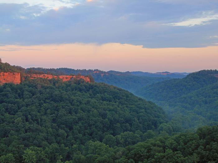
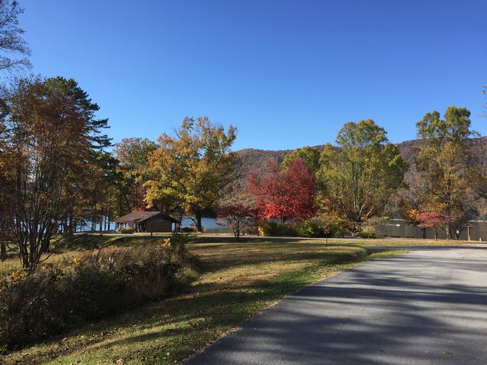
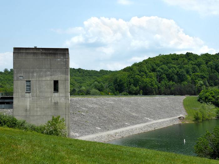
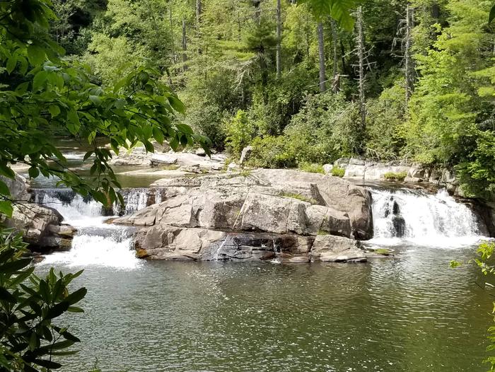
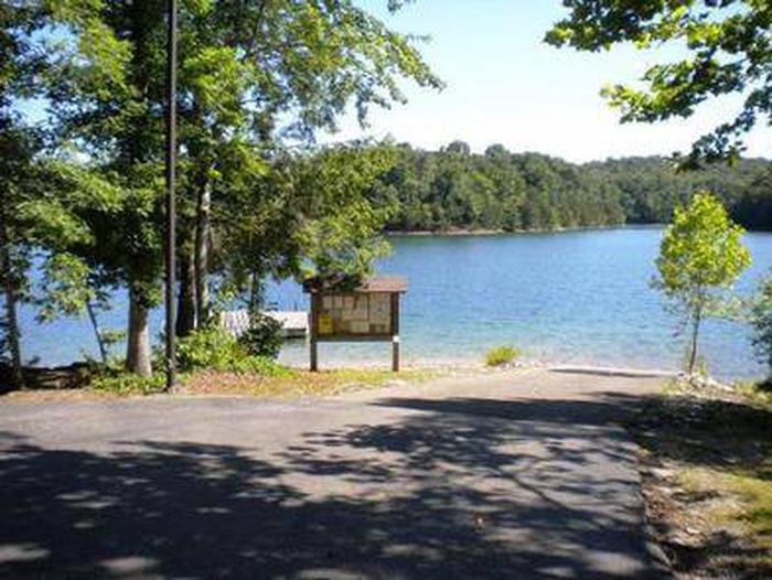
John W. Flannagan Dam and Reservoir
Project lands adjoin Jefferson National Forest. Nearby Breaks Interstate Park contains massive geological features.
- Day Use
JOHN W. FLANNAGAN DAY USE
The John W. Flannagan Day Use Area boasts an expansive lake nestled in the rolling green Cumberland Mountains of southwest Virginia, offering visitors an oasis of recreation...
- Camping
Bark Camp
This location is available on a first-come, first-served basis only. Visitors are required to physically arrive at the campground to purchase and claim a site. Once on-site,...
- Camping
LITTCARR CAMPGROUND
Littcarr Campground is located on the shores of Carr Creek Lake in southeastern Kentucky's mountainous region. The area provides an excellent atmosphere for camping, fishing,...
- Day Use
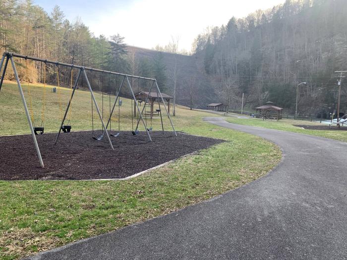
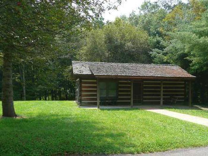
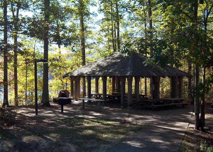
CARR CREEK LAKE SHELTERS
Carr Creek Lake Shelters are located on Carr Creek Lake on the same side of Kentucky Highway 160 as Littcarr Campground. The U.S. Army Corps of Engineers, in cooperation with...
- Recreation Area
- Recreation Area
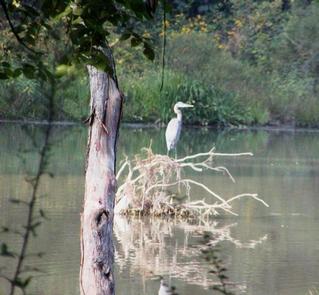
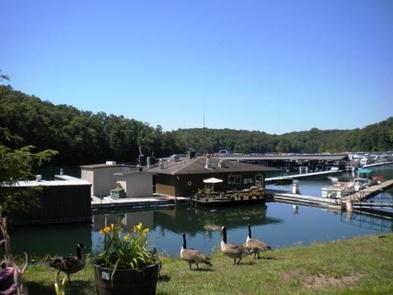
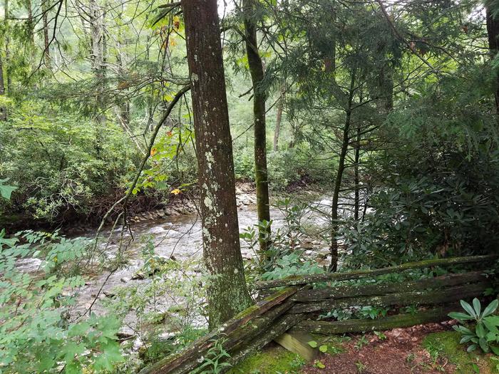
Carr Creek Lake
Carr Creek Lake, KY is located in the mountainous region of southeastern Kentucky, about 16 mile from Hazard and 18 miles from Whitesburg. The dam is located 8.8 miles above...
- Day Use
FISHTRAP LAKE SHELTERS
Nestled among mountains and dense forests, the Fishtrap Lake area will appeal to anyone who loves boating, fishing or hiking. A man-made lake surrounded by natural beauty,...
- Camping
Cave Springs (VA)
This location is available on a first-come, first-served basis only. Visitors are required to physically arrive at the campground to purchase and claim a site. Once on-site,...
- Camping
- Day Use
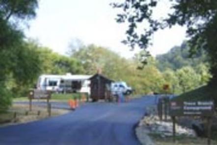
TRACE BRANCH CAMPGROUND
The Trace Branch Campground, located on Buckhorn Lake, is a great launchpad for outdoor activities in Kentucky's lush Cumberland Plateau. The facility features plenty of shade...
- Camping
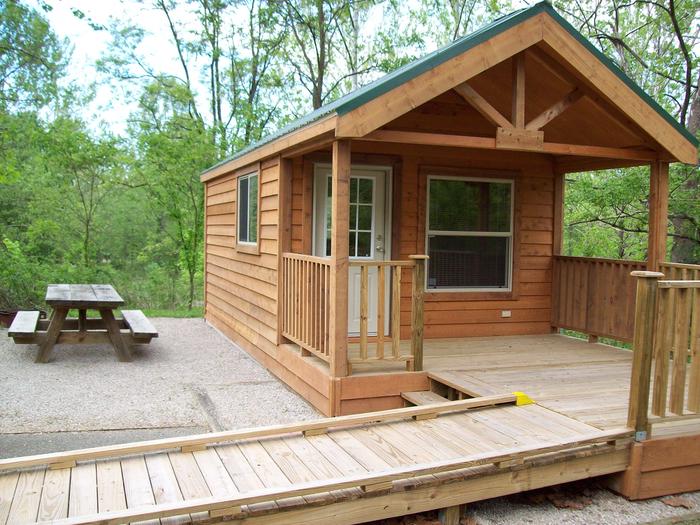
Dewey Lake Campground Shoreline Sites
The Dewey Lake Campground Shoreline Sites is a primitive campground and the only U.S. Army Corps of Engineers campground at Dewey Lake. The campground is open from April 20th...
- Recreation Area
Dewey Lake
Wooded hills rise some 700 feet above the lake. A full range of facilities are available at Jenny Wiley State Resort Park.